 Safety Tip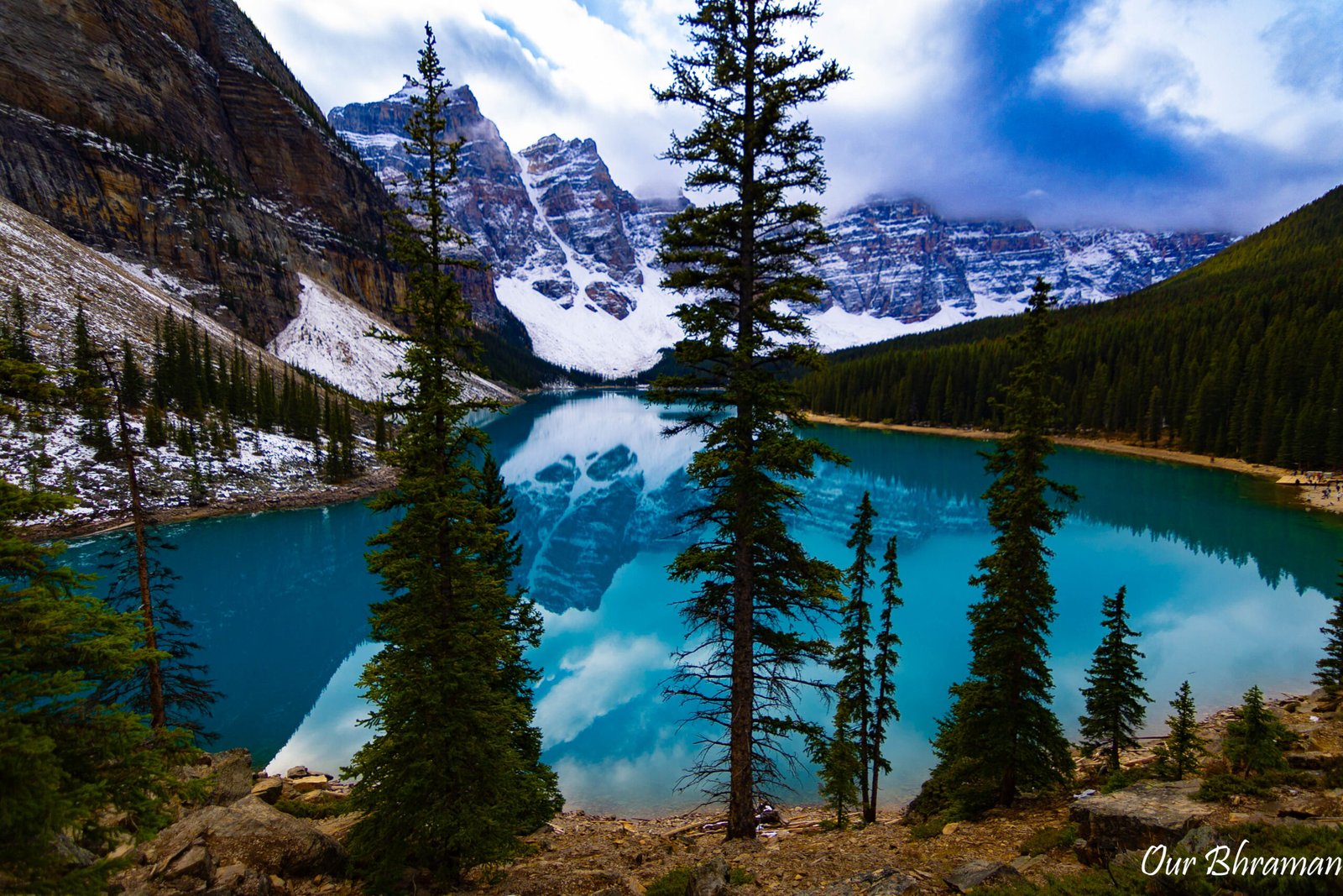
Jasper National Park & Icefields Parkway:
A Journey Through the Canadian Rockies
The Icefields Parkway, also known as Highway 93, is more than just a scenic road connecting two mountain towns. Stretching between Jasper National Park and Banff National Park, the 232-kilometer route travels through the heart of the Canadian Rockies, passing turquoise lakes, dramatic waterfalls, glaciers, towering peaks and some of the most breathtaking scenery in Canada. Parks Canada recommends allowing a full day to experience the parkway, and after driving it ourselves, we completely understand why.
"The Journey is the Destination
-- Ralph Waldo Emerson
Remembering the 2024 Jasper Wildfire
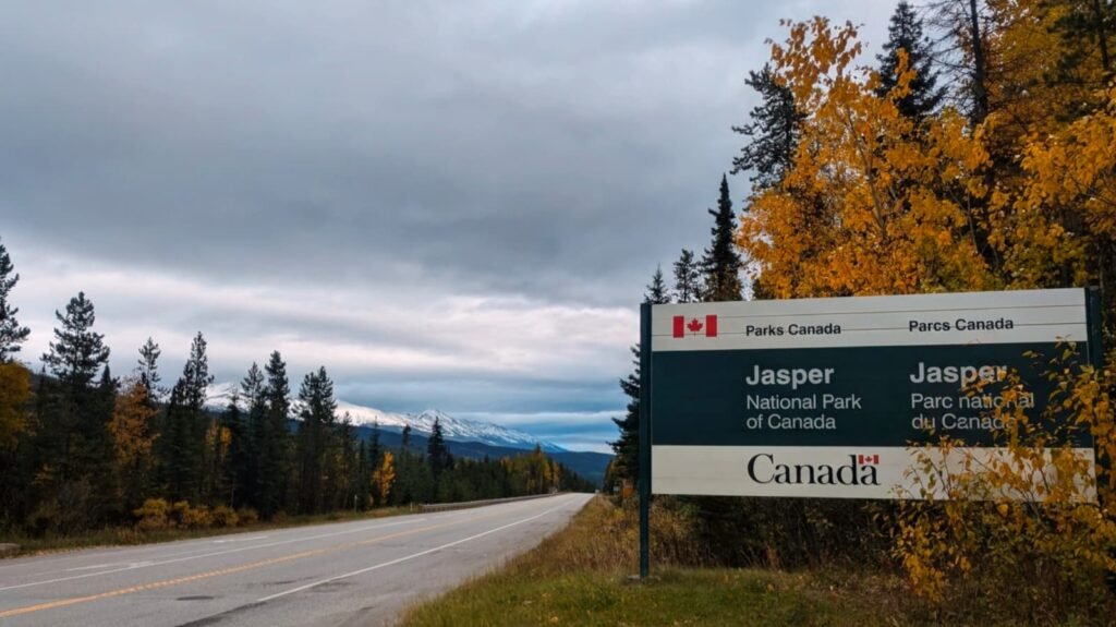
Our arrival in Jasper was bittersweet.
In July 2024, a devastating wildfire swept through the Jasper area, damaging homes, businesses and other structures throughout the community. When we visited, the evidence of the fire was impossible to miss. Caution tape surrounded many of the burned structures, and charred buildings and trees stood alongside areas that had escaped the flames. Places that would normally be filled with visitors and activity instead felt quiet and somber.
Seeing the destruction in person was sobering. Jasper is surrounded by such immense natural beauty that it was difficult to reconcile the peaceful mountain town we had imagined with the visible scars left behind by the fire.
Yet even among the burned landscape, there were signs of nature beginning to recover. The experience was a powerful reminder that these landscapes are constantly changing—and that the beauty we come to experience in places like Jasper should never be taken for granted.
The Icefields Parkway: A Road That Feels Like a Movie
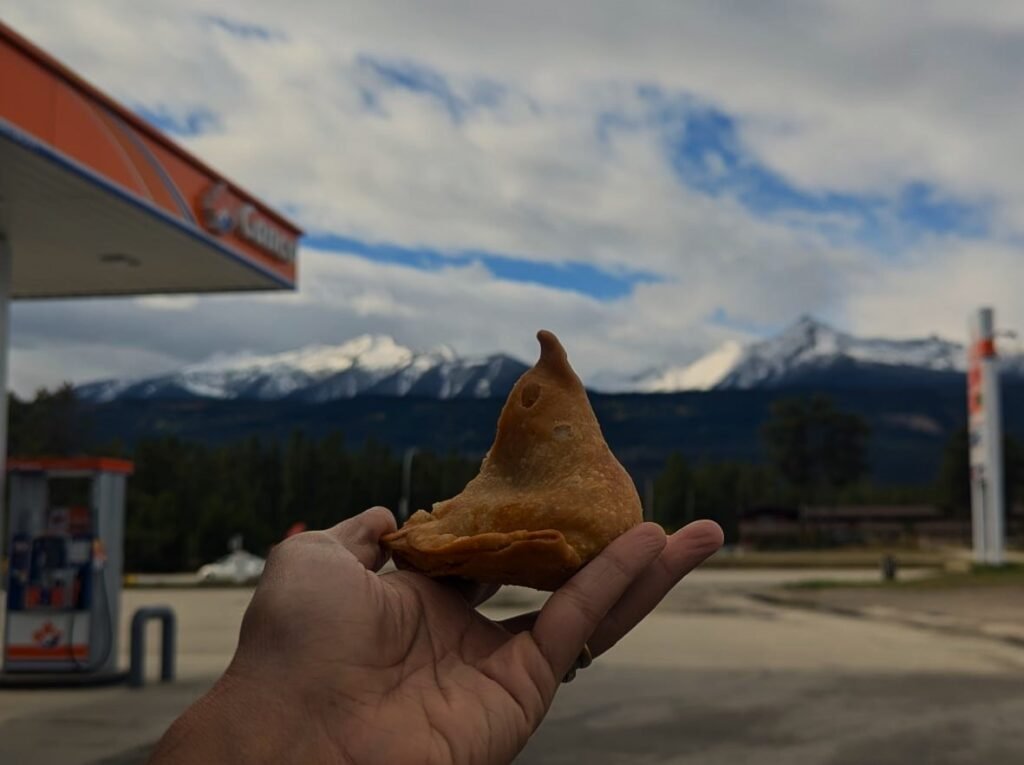
We decided to stop at a gas station about 50 miles from Jasper, and to our surprise, it was not just a gas station but also a combined food court offering Indian cuisine.
We are usually not one for impulse purchases. However, the aroma of hot samosas wafting through the air on that chilly day was simply irresistible. Despite our initial hesitation, we couldn’t resist treating ourselves—and it was the perfect pick-me-up for the rest of our journey!
From Jasper, we headed south onto the Icefields Parkway, where the scenery gradually transformed from the recovering landscape around Jasper into towering mountains, rushing rivers, glaciers and brilliant blue lakes.
And this is where the real adventure began.
Travel Tips
⛽ Fill up before you go. Gas stations are few and far between along the Icefields Parkway, so don’t wait until your tank is nearly empty.
🥪 Bring snacks and water. Even though you may find a few places to stop, food options are limited and can be unpredictable.
📸 Allow extra time. The drive itself is an attraction. You’ll want to stop constantly for photographs, viewpoints and wildlife.
🧥 Dress in layers. Mountain weather can change quickly, and temperatures near glaciers can be dramatically colder than they are in Jasper or Banff.
🚗 Don’t rush the drive. The Icefields Parkway is one of those roads where the journey really is the destination.
As we continued south, we quickly realized that the Icefields Parkway wasn’t simply a road connecting Jasper and Banff—it was the attraction itself. From the moment we left Jasper, the scenery seemed to change around every bend. Towering mountain peaks rose dramatically into the sky, turquoise lakes appeared between the trees, glaciers clung to distant mountainsides, and waterfalls tumbled down rocky cliffs into the valleys below. It felt as though every few minutes brought another postcard-worthy view.
Even the moments we would normally consider part of the drive became memorable. A truck traveling along the highway suddenly looked tiny against the enormous mountains behind it. A train disappeared into the landscape, weaving its way through the valley. A perfectly still lake reflected the surrounding peaks so clearly that it was difficult to tell where the mountains ended and the water began.
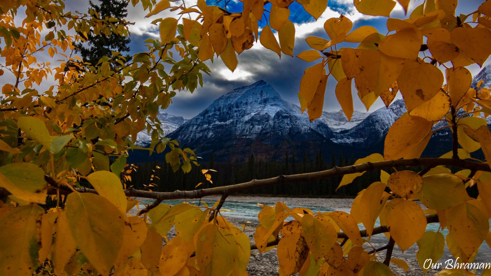
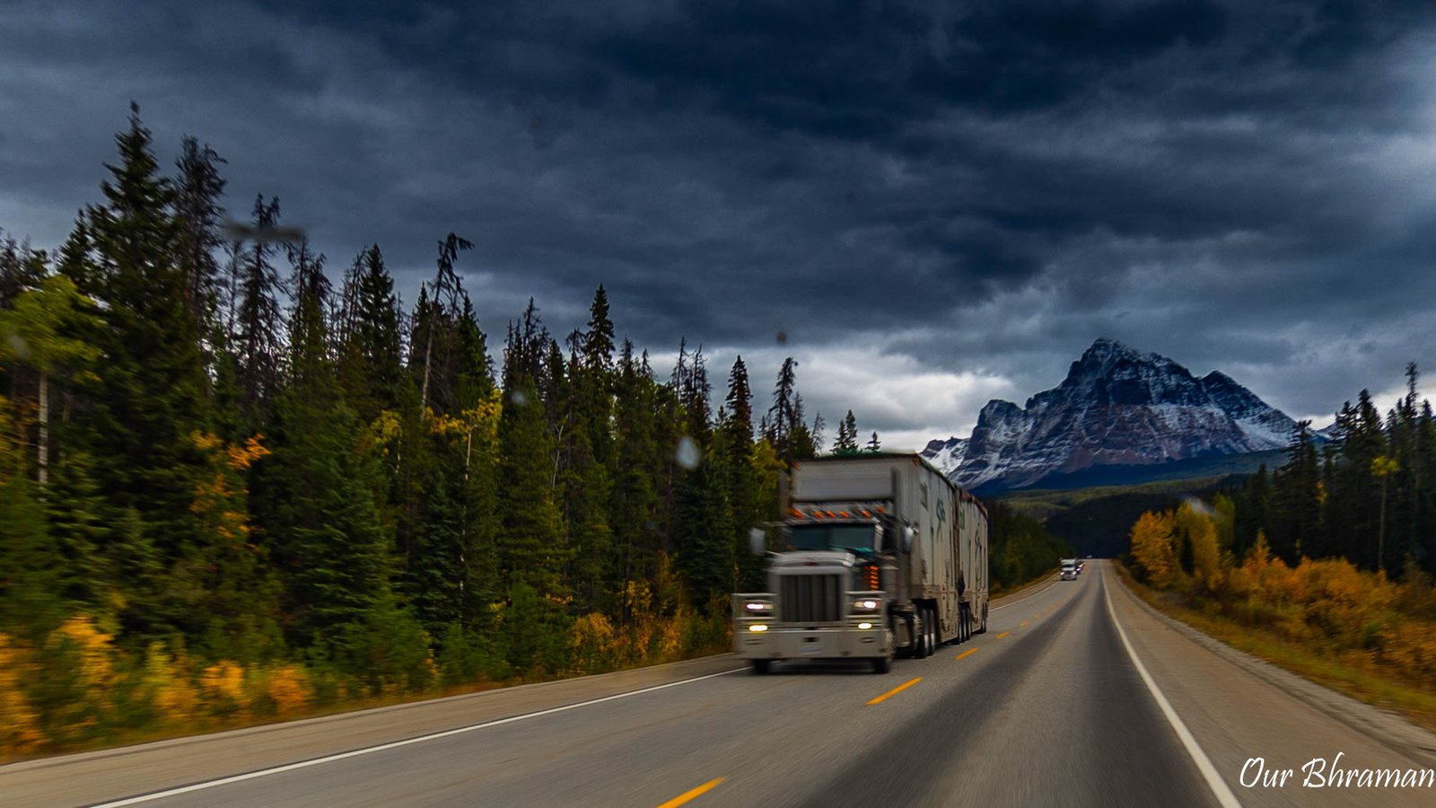
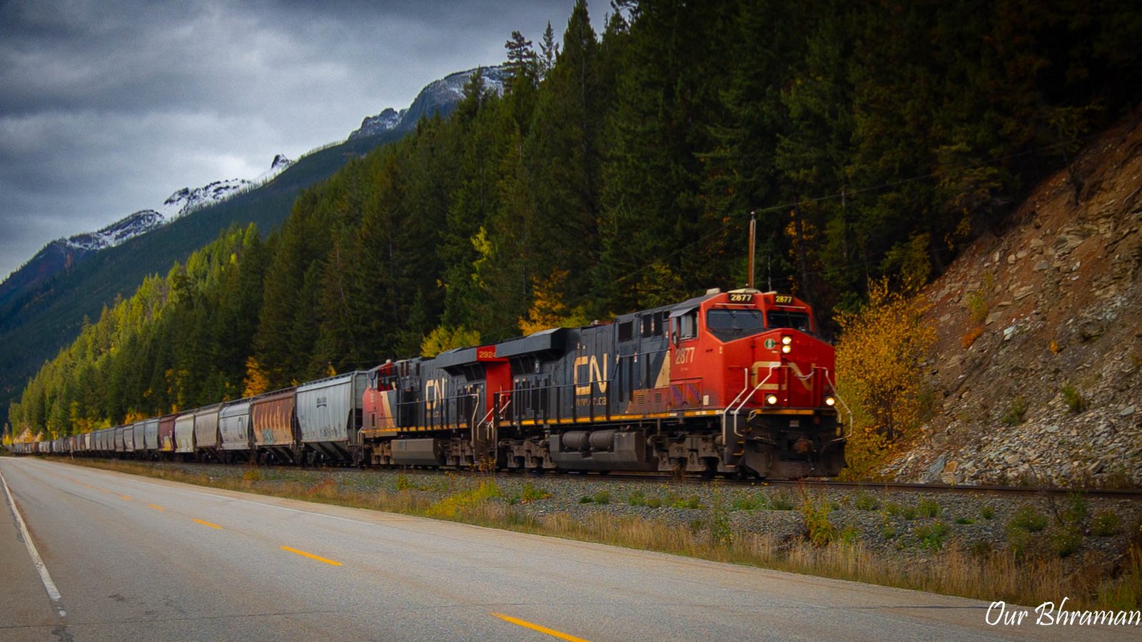
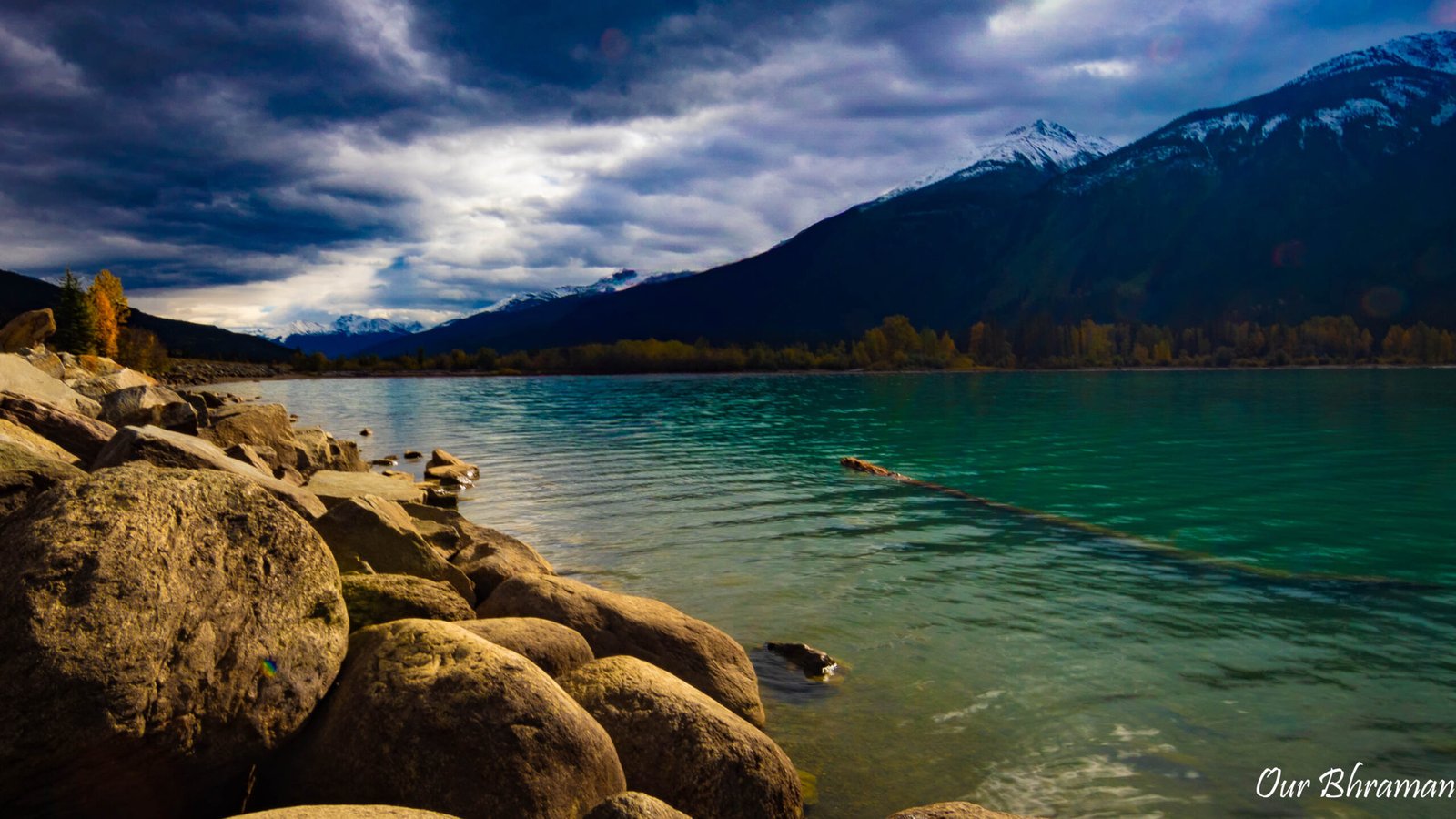
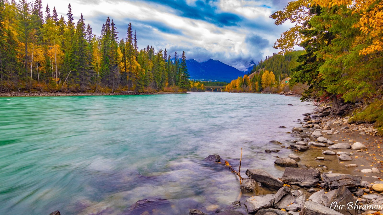
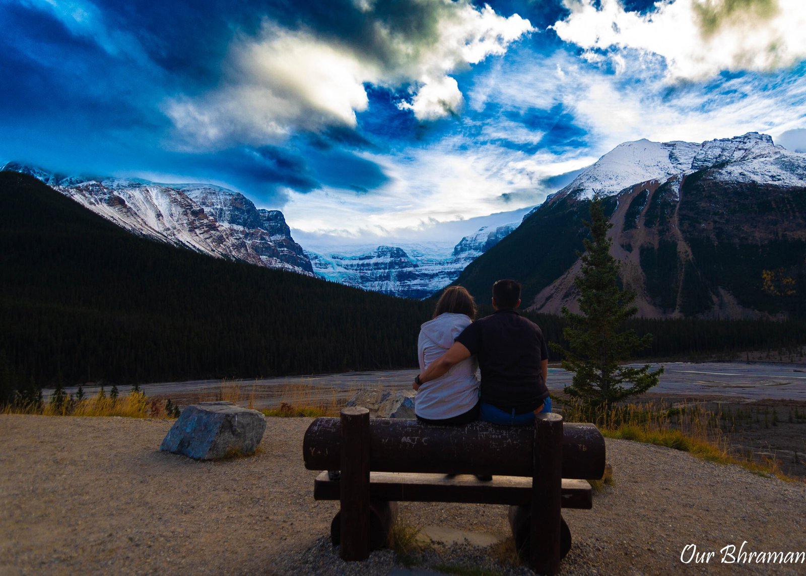
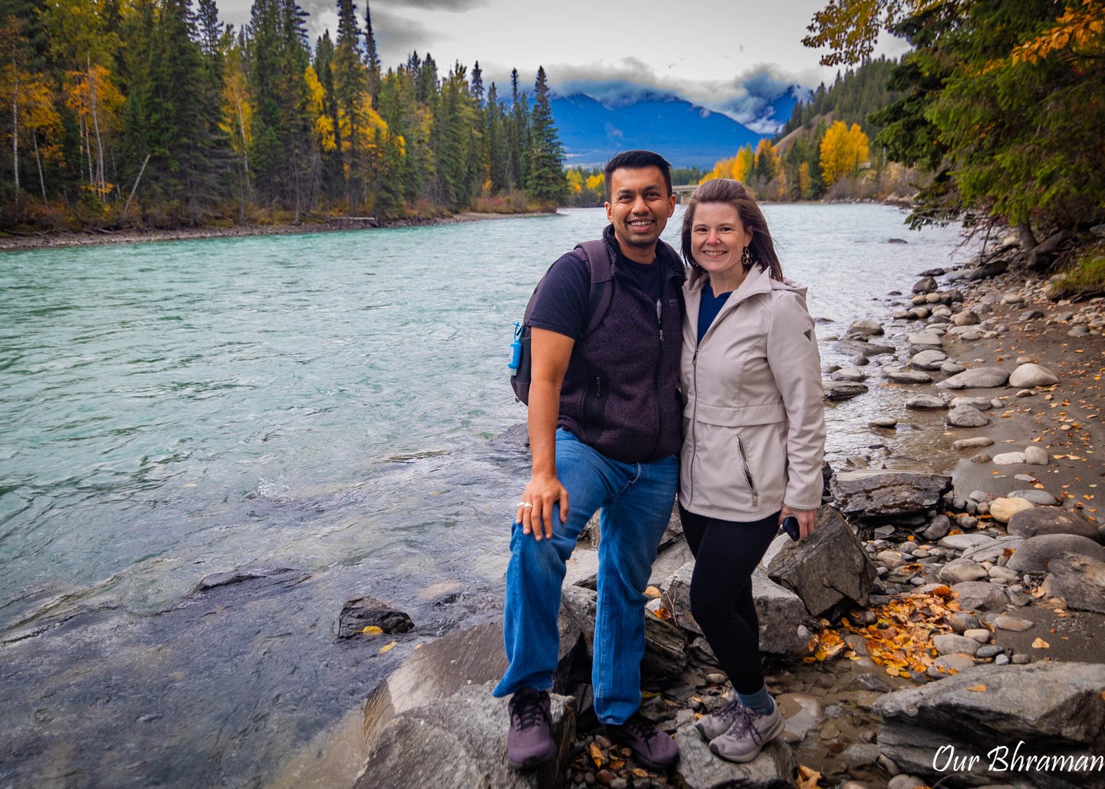
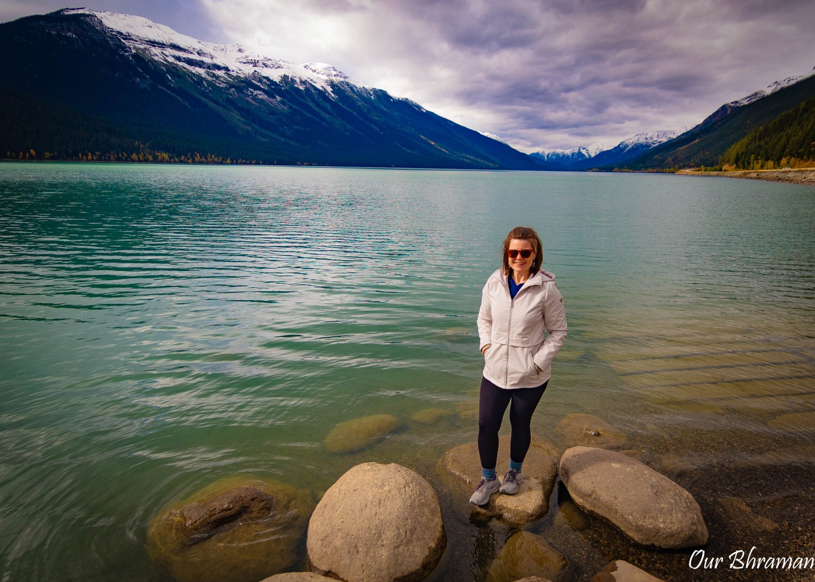
There was something almost cinematic about the entire journey. As photographers, we found ourselves constantly scanning the road ahead, wondering what might be waiting around the next corner. We wanted to stop every few minutes because there was always another mountain, another waterfall, another lake or another perfectly framed scene demanding our attention.
And that quickly became the hardest part of driving the Icefields Parkway—not finding something beautiful to photograph, but deciding what to photograph next.
The Icefields Parkway Stops in Order
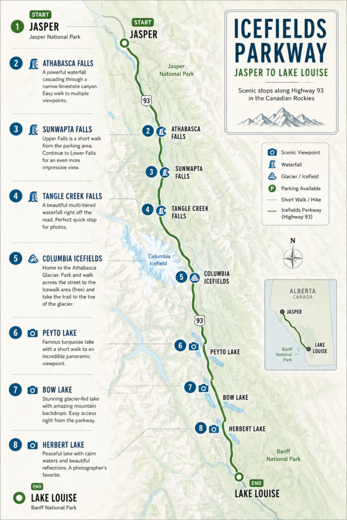
If you’re driving Jasper → Lake Louise, this is the order we’d recommend:
| Stop | Approx. Location | Time to Allow |
|---|---|---|
| Athabasca Falls | 31 km from Jasper | 30–45 min |
| Sunwapta Falls | 54 km | 30–90 min |
| Tangle Creek Falls | 96 km | 10–15 min |
| Columbia Icefield / Athabasca Glacier | 103 km | 1–1.5 hr |
| Peyto Lake | 190 km | 30–45 min |
| Bow Lake | 193 km | 20–30 min |
| Herbert Lake | 227 km | 15–30 min |
| Lake Louise | ~230 km | End of route |
Athabasca Falls
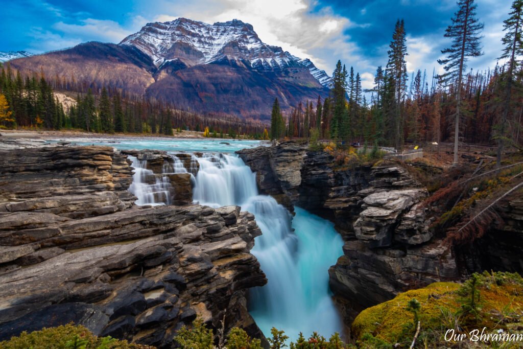
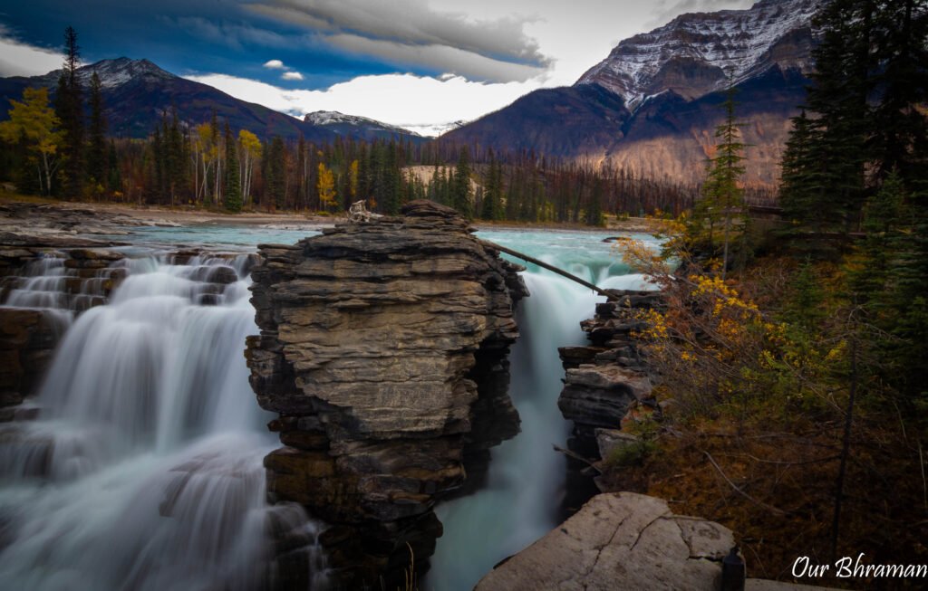
Just 31 kilometers south of Jasper, our first major stop along the Icefields Parkway was Athabasca Falls, and it didn’t take long to understand why this is one of the Parkway’s must-see stops. We could hear the river before we even reached the main viewpoint—the unmistakable roar of water rushing through the canyon growing louder with every step. Athabasca Falls isn’t particularly impressive because of its height; instead, it’s the sheer power of the Athabasca River that makes it so dramatic. The river is funneled through a narrow limestone gorge, forcing an enormous volume of turquoise water through a surprisingly small opening before it plunges into the canyon below. Parks Canada describes it as one of the area’s most powerful waterfalls, with several short paths leading to viewpoints along the gorge.
The best part is that you don’t have to hike for miles to experience it. A short network of paved pathways winds through the forest and along the canyon, with several places to stop and watch the water from different angles. One moment you’re standing above the rushing river, and the next you’re looking down into the deep canyon as the water twists and churns below. The main viewing area is only about 200 meters round trip, with minimal elevation gain, although there are stairs and some steep or uneven sections along portions of the route.
As we made our way closer to the falls, the roar of the water became almost deafening, and on a day when the river is running high, you can feel the cool mist rising from the canyon. It was the perfect first stop on our journey south—a dramatic introduction to the landscape that awaited us farther along the Parkway.
Our Take: Athabasca Falls is one of those rare stops where the payoff is enormous compared with the effort required. If you’re driving the Icefields Parkway and don’t have time to stop everywhere, this is one we wouldn’t skip. Give yourself at least 30 minutes to walk the viewpoints, listen to the river and take in the canyon—you’ll be glad you did.
Trail Tip
🥾 Distance ~1 km (0.6 mi) round trip
⛰️ Difficulty Easy
⏱️ Time ~15–30 minutes
📈 Elevation Gain Minimal
🛣️ Trail Type Paved/boardwalk-style paths with stairs
🅿️ Parking Large parking area at the trailhead
💧 Highlights Athabasca Falls, canyon viewpoints, rushing river
What to Expect
The trail begins right from the parking area and follows a series of paved paths, stairs, and viewing platforms toward the falls. The short walk makes this an excellent stop even if you’re trying to cover a lot of ground along the Icefields Parkway.
The main viewpoint brings you close to the falls, where the sheer volume and force of the Athabasca River rushing through the narrow canyon are impressive. Continue along the trail to several additional viewpoints for different perspectives of the waterfall and surrounding canyon.
 Safety Tip
The rocks and pathways near the canyon can be wet and slippery, and the river is extremely powerful. Stay behind designated barriers and don’t attempt to climb onto rocks or get close to the edge for a photograph. The beautiful views aren’t worth risking a dangerous fall.
Photography Tips
Don’t stop at the first viewpoint! Walk the entire short trail to capture different angles of the falls and canyon. Early morning or late afternoon can provide softer light and fewer visitors.
Bring a wide-angle lens if you have one. The canyon, rushing water and surrounding forest are best captured together rather than trying to photograph only the waterfall.
Sunwapta Falls
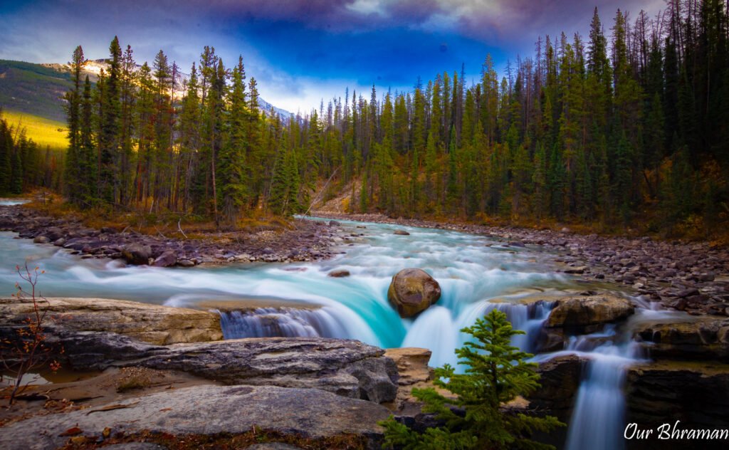
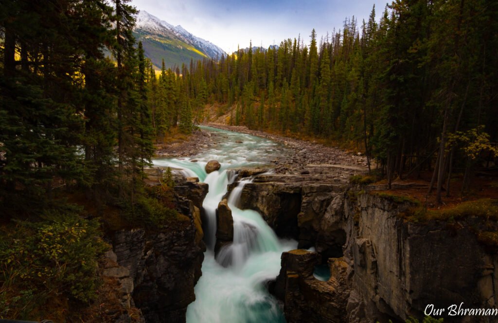
About 54 kilometers south of Jasper, we made our next stop at Sunwapta Falls, another powerful waterfall tucked into the rugged landscape of Jasper National Park. After the impressive force of Athabasca Falls, we weren’t sure another waterfall could make quite the same impression—but Sunwapta Falls had its own kind of drama. Even the name seems fitting. Sunwapta comes from a Stoney Nakoda word meaning “turbulent water,” and standing above the falls, it was easy to see why.
The upper falls are just a short walk from the parking area, making this an incredibly easy stop to add to an Icefields Parkway road trip. As we approached, the sound of rushing water grew louder, eventually opening up to the dramatic sight of the Athabasca River being funneled through a narrow canyon before plunging over the falls. The surrounding forest and towering mountains made the scene feel completely wild, despite how accessible it was.
We had originally planned to continue past the upper falls and hike down to the Lower Sunwapta Falls, and honestly, if you have the time, we recommend doing exactly that. The trail continues approximately 1.3 kilometers farther through the forest to the lower falls, where the crowds thin out and the scenery becomes even more secluded. Unfortunately, we were starting to realize just how much there was to see along the Icefields Parkway, and with a long day of driving still ahead of us, we were running short on time. So, reluctantly, we abandoned the mission to the lower falls and decided to simply soak in the upper falls instead.
Looking back, it was a good reminder that you don’t have to see absolutely everything. Sometimes the best choice is to stop rushing, find a viewpoint, and actually enjoy where you are. We stood above the falls for a while, listening to the roar of the water and taking in the surrounding landscape before reluctantly making our way back to the car.
If you’re planning your own Icefields Parkway adventure and have more time than we did, add the Lower Sunwapta Falls hike to your list. If you’re working with a tighter schedule, don’t feel guilty about visiting only the upper falls—they’re still well worth the stop.
Safety Tip
Be careful around the falls, especially after rain or during periods of high water. Mist from the rushing water can coat nearby rocks and walkways, making them surprisingly slippery. Stay on the designated trails and behind the railings—those turquoise waters may look inviting, but the current is extremely powerful.
Allow: 30 minutes for upper falls only or 1–1.5 hours if hiking to the lower falls.
Trail Tip
Upper Sunwapta Falls
Difficulty: Easy
Time: Approximately 20–30 minutes
Walking: Short, mostly paved walk
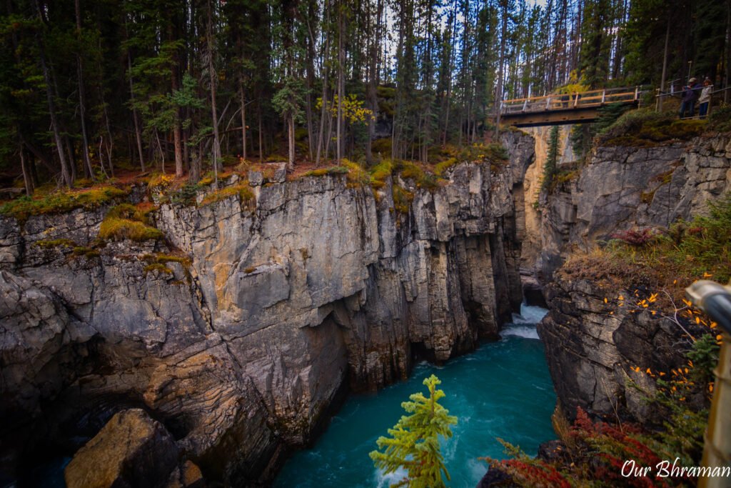
The river plunges into a deep limestone gorge, and the viewpoints provide several different perspectives.
Lower Sunwapta Falls
Difficulty: Moderate
Distance: 2.6 km return
Elevation gain: 87 m
Time: Approximately 1 hour
The lower falls trail takes you through the forest and eventually to a series of three waterfalls carved into deep rock channels. Parks Canada describes this as a quieter alternative to the main viewpoints.
Photography Tips
The upper falls offer several different perspectives, so don’t stop at the first viewpoint. Walk around the designated viewing areas and look for compositions that include the rushing water, canyon walls and surrounding forest.
A slower shutter speed can also emphasize the movement of the water if you’re carrying a tripod.
Tangle Creek Falls
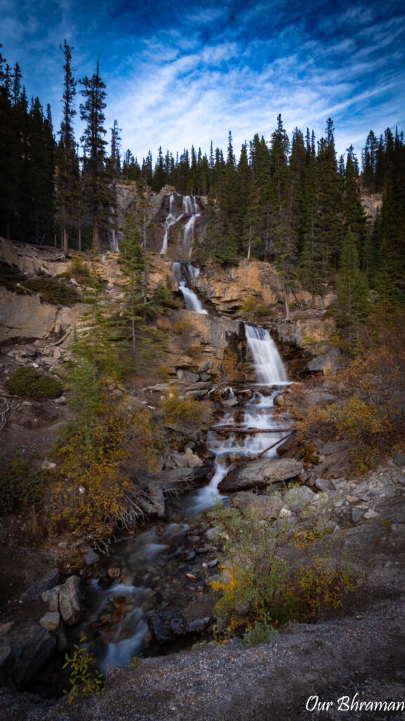
About 96 kilometers south of Jasper, we came across Tangle Creek Falls, one of those unexpected stops along the Icefields Parkway that reminds you just how much beauty is packed into this drive. After spending the morning hiking to waterfalls and exploring viewpoints, it was almost surprising to realize that one of the next beautiful waterfalls required virtually no effort at all.
Tangle Creek Falls tumbles down a series of rocky limestone tiers almost directly beside the highway, making it nearly impossible to miss as you drive past. We pulled over, stepped out of the car and were immediately treated to the sound of water rushing down the mountainside. The falls aren’t necessarily the biggest or most dramatic waterfall along the Parkway, but there’s something special about the way they seem to appear out of nowhere, surrounded by rugged mountains and forest.
This was a quick stop for us, but it’s exactly the kind of roadside attraction that makes the Icefields Parkway so much fun. You don’t have to commit to another long hike or carve out an hour of your itinerary. Sometimes you can simply pull over, stretch your legs, grab your camera and enjoy the view before continuing down the road.
And that’s one of the things we loved most about this drive—the scenery wasn’t confined to the official attractions. Beautiful moments were constantly appearing along the highway, often when we least expected them.
Our Take: Tangle Creek Falls is an easy, low-commitment stop that’s absolutely worth pulling over for. You may only spend 10 minutes here, but it’s 10 minutes you’ll be glad you didn’t drive past.
Photography Tips
This is a great place to use a longer lens and compress the layers of the waterfall against the surrounding mountain landscape.
And keep an eye on the cliffs—Parks Canada’s Parkway map specifically notes that sheep are sometimes seen in this area.
Columbia Icefields
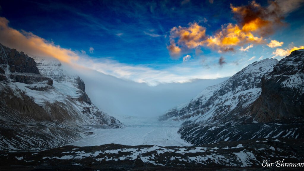
The Columbia Icefield, approximately 103 km south of Jasper, was one of the stops we were most excited about, and after spending the morning driving deeper into the Canadian Rockies, finally arriving at this enormous landscape felt like a completely different experience. The mountains seemed to grow larger, the valleys more expansive and the air noticeably colder. Sitting within this incredible landscape is the Athabasca Glacier, one of the most accessible glaciers in the Canadian Rockies.
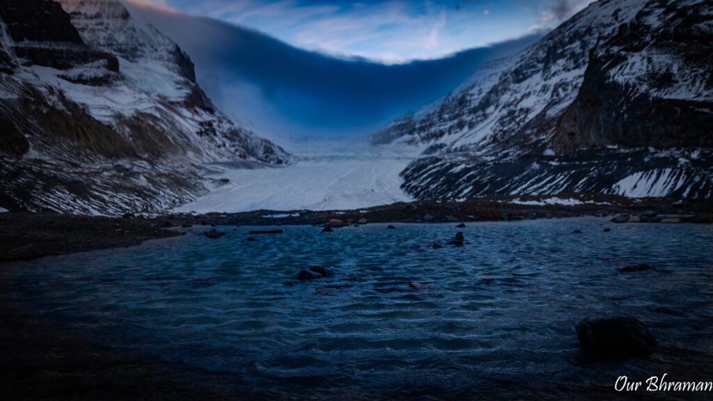
There are several ways to experience the glacier, including commercial glacier tours, but we decided to take advantage of the free public trail to the toe of the Athabasca Glacier. The trailhead is located across the road from the Columbia Icefield Discovery Centre, and from there, we began walking toward the glacier. As we got closer, the landscape became increasingly barren and rocky, with the glacier stretching across the valley ahead of us.
And then came the cold.
We knew it would be colder near the glacier, but we weren’t quite prepared for just how cold and windy it would actually feel. The temperature seemed to drop with every step, and the wind coming off the glacier made it feel even more brutal. This wasn’t the kind of cold where you could simply throw your hands in your pockets for a minute and keep going. Before long, our fingers were absolutely frozen.
Eventually, we reached the point where even taking photographs became a challenge. We had gloves on, but every time we pulled our hands out to operate the camera, the wind seemed to cut straight through them. Our fingers became so cold that we eventually had to put the camera away. Ironically, one of the places we were most excited to photograph became one of the few places where we simply had to stop photographing and experience it instead.
The upside? We practically had the entire area to ourselves.
While the more popular attractions along the Icefields Parkway were busy, the intense cold and wind seemed to discourage most people from lingering at the glacier. Standing there with the massive Athabasca Glacier stretching out in front of us, surrounded by mountains and almost no one else around, made the experience feel incredibly peaceful despite the brutal wind.
Budget Tip
The Free Glacier Walk
When you arrive at the Columbia Icefield area, look for the free public access to the Toe of the Athabasca Glacier.
The trailhead is across from the Columbia Icefield Centre at the end of the Toe of the Glacier Road. From there, you can walk toward the toe of the glacier.
Trail Tip
Difficulty: Moderate
Distance: 1.8 km return
Elevation gain: 60 m
Time: Approximately 1 hour
The trail crosses glacially smoothed limestone and a meltwater stream before climbing toward a rock bench where you can see the edge of the Athabasca Glacier.
🥶 Prepare for the Cold
If you’re planning to walk to the toe of the glacier, dress warmer than you think you’ll need to.
Even if it’s warm and sunny when you leave Jasper, conditions at the Columbia Icefield can be dramatically different. The wind is the real game changer, and exposed skin can become uncomfortable—or painfully cold—very quickly.
We recommend bringing:
- 🧥 A warm, wind-resistant jacket
- 🧤 Insulated gloves
- 🧢 A warm hat or beanie
- 🧣 Something to protect your neck and face
- 👟 Sturdy, closed-toe shoes
- 🧦 Warm socks
- 💧 Water
And don’t underestimate your hands. If you’re planning to photograph the glacier, keep your gloves on as much as possible and only expose your fingers when absolutely necessary. We learned that lesson the hard way.
Safety Tip:
One of the most important things to remember is that you can walk toward the glacier, but you should never walk onto the glacier itself unless you’re part of an authorized guided experience.
The area around the toe can contain unstable ice, hidden crevasses and extremely cold meltwater. What may look like solid ground or safe ice can be dangerously deceptive.
Stay on the designated trail and stop at the marked viewing area.
Photography Tips
Bring your camera—but don’t make the same mistake we did and underestimate the wind. Strong gusts can make it difficult to hold your camera steady, and constantly removing your gloves can quickly turn your fingers numb.
We eventually decided the camera wasn’t worth losing feeling in our hands and put it away. And honestly, we’re glad we did. Sometimes you have to stop looking through the viewfinder and simply look.
Standing there in the freezing wind, with the glacier stretching across the valley and almost no one else around, was one of those moments we know we’ll remember long after the photographs fade.
Our Take: The free walk to the toe of the Athabasca Glacier is absolutely worth adding to your Icefields Parkway itinerary. Just don’t underestimate the cold. Dress for the wind, protect your exposed skin, keep your gloves on and be prepared to put the camera away if your fingers start going numb. The glacier isn’t going anywhere—and neither should your fingers.
After our hike, we decided to visit the parking area for the Glacier Discovery Centre to snap a picture in front of one of those massive ice explorer vehicles. Unfortunately, we arrived a bit late in the day and didn’t have time to visit the visitor center. It was a bit of a letdown, but it just gives me something to look forward to on my next trip.
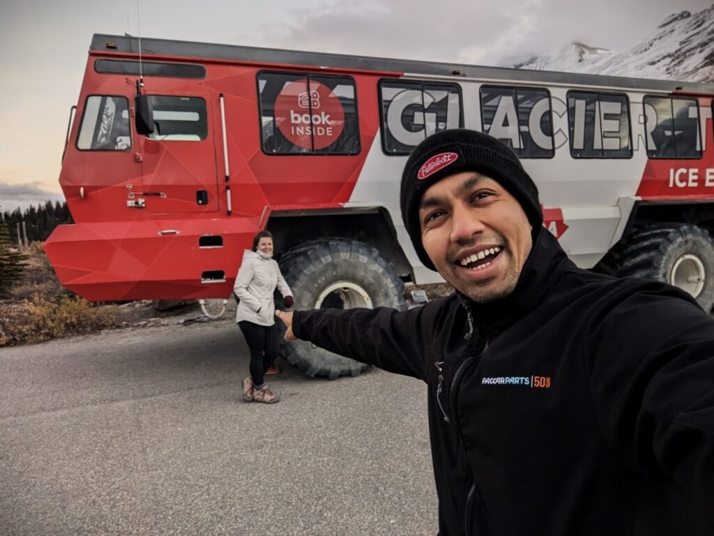
For us, we concluded our day after this stop and make our way to our final destination for the evening, Lake Louise. We would finish out the additional stops we missed on the Icefields Parkway another day, but you can view the additional stops below.
Peyto Lake
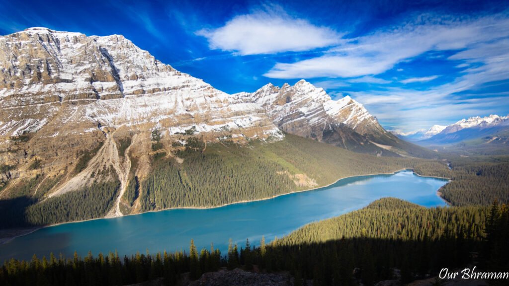
After spending time chasing waterfalls and glaciers, continue south along the Icefields Parkway (approximately 190 km south of Jasper) toward one of the most recognizable views in the Canadian Rockies: Peyto Lake. If you’ve ever searched for photographs of the Canadian Rockies, there’s a good chance you’ve seen this lake before. Its brilliant turquoise-blue water, surrounded by jagged mountain peaks, is almost immediately recognizable—and yet, somehow, seeing it in person still caught us off guard.
The color is every bit as surreal as it looks in photographs. The lake gets its distinctive turquoise appearance from glacial rock flour, tiny particles of rock carried into the lake by glacial meltwater. When the sunlight hits the suspended particles just right, the water takes on that almost impossible shade of blue.
Getting to the famous viewpoint is relatively easy, but there was a section of incline that did get you heart pumping (just remember, at least you get to go downhill on your way back to your car).
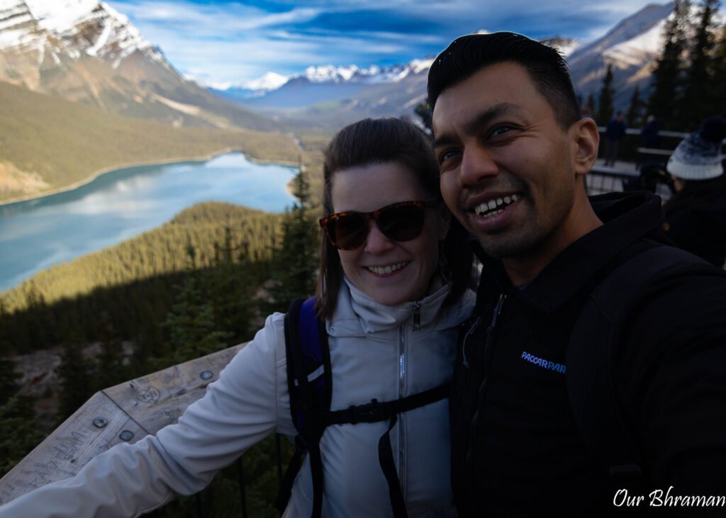
From the parking area, we followed the short trail through the forest, gradually making our way toward the overlook. Then, almost suddenly, the trees opened up and Peyto Lake appeared below us. The view was one of those moments where we both stopped talking for a second. The lake stretches out beneath the mountains in the shape of a wolf, and from above, the scale of the surrounding landscape is incredible.
It’s also one of those places where photographs genuinely don’t do the view justice. You can capture the color, the mountains and the shape of the lake, but the feeling of standing above it and seeing the entire valley spread out in front of you is something a photograph can’t quite reproduce.
Peyto Lake is one of the most popular stops along the Icefields Parkway, so this was one place where we were especially glad to have planned our timing carefully. During the busiest part of the day, the parking lot and viewpoint can become crowded, making it harder to enjoy the experience. If you have flexibility, arriving early in the morning or later in the afternoon can make a huge difference.
Once you reach the viewpoint, don’t be in a hurry to turn around. We spent some time simply taking in the view and looking beyond the lake toward the surrounding peaks. And, as always in the Canadian Rockies, keep an eye out along the trail—wildlife can appear when you least expect it.
Trail Tip
Difficulty: Easy/moderate
Distance: Approximately 1.2 km round trip to the viewpoint
Elevation gain: Approximately 250 feet (short incline section that will get your heart pumping)
Time: 30–45 minutes
Parks Canada lists the Peyto Lake Lookout Trail at approximately 0.6 km one way. There is also a shorter, barrier-free route from the upper parking area for accessible vehicles and buses.
Bow Lake
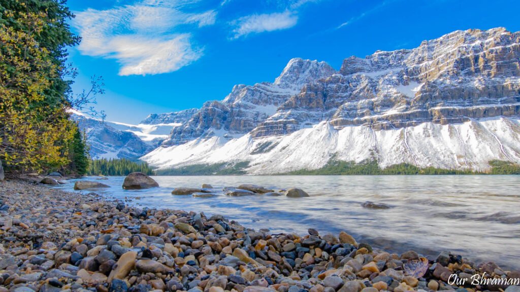
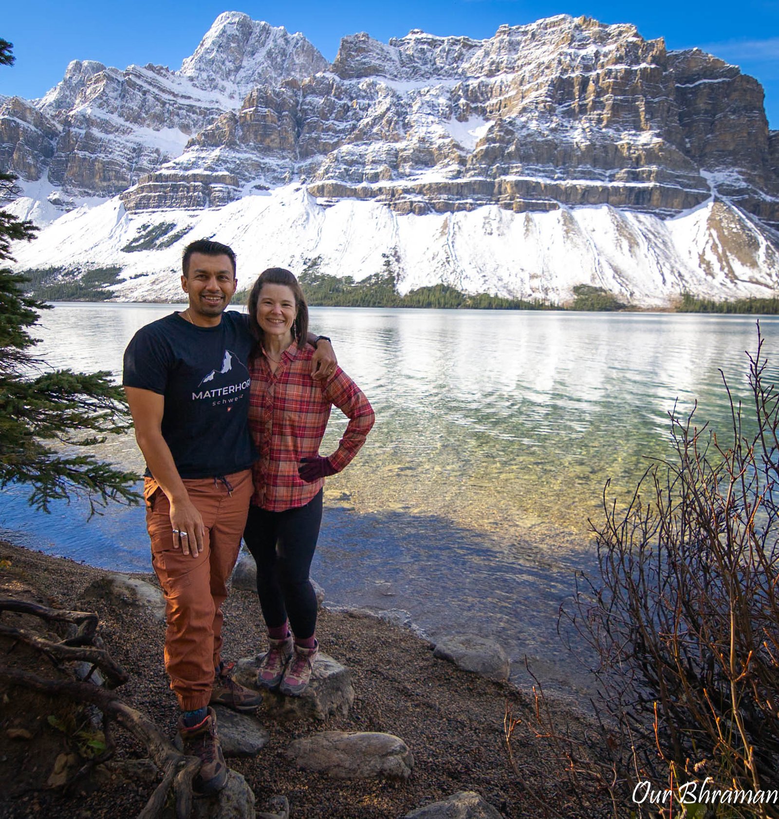
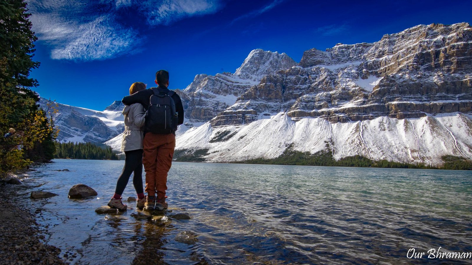
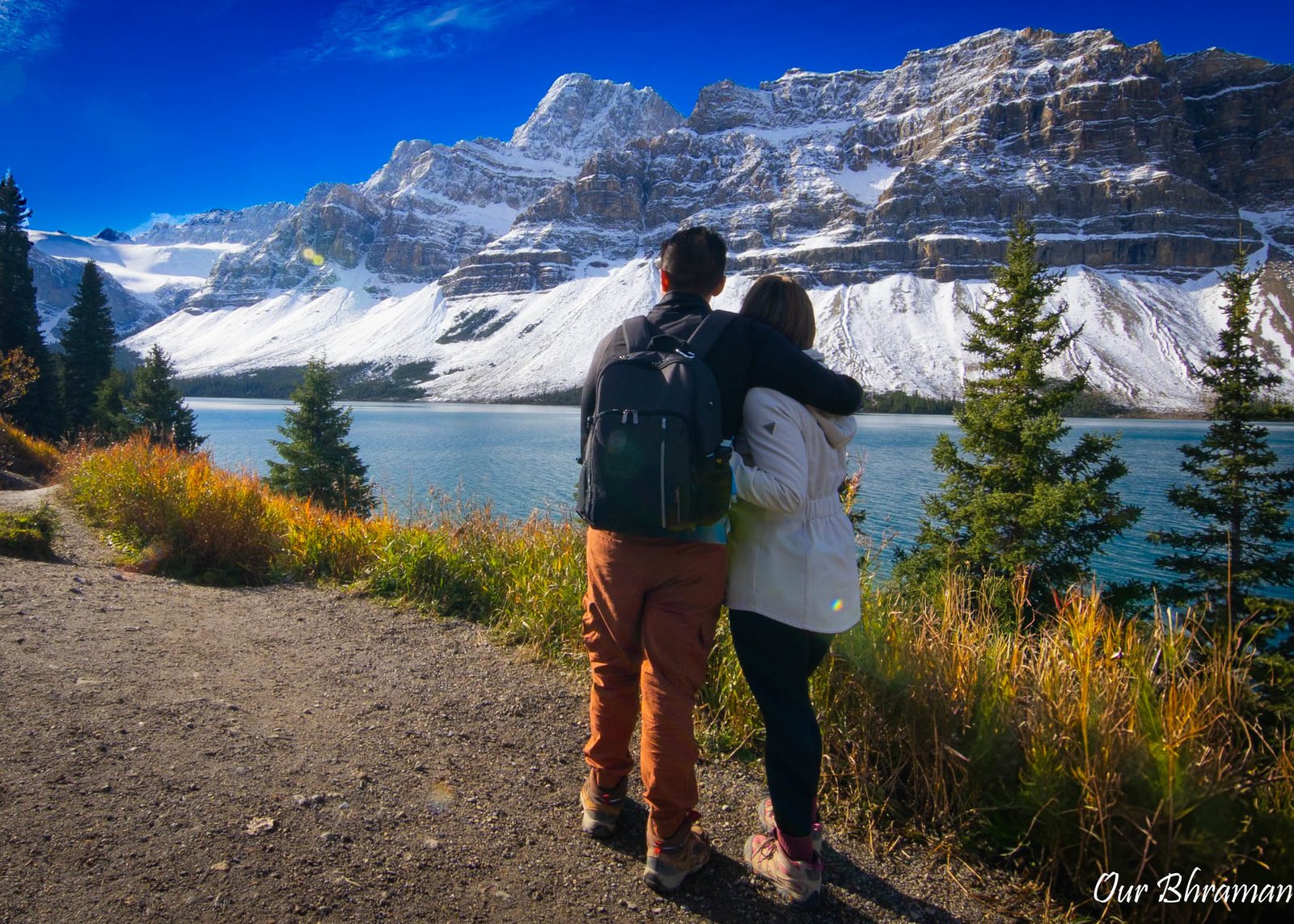
Just a few minutes farther down the Icefields Parkway, we arrived at Bow Lake, and after the crowds at Peyto Lake, the atmosphere felt noticeably different. The lake stretches alongside the highway beneath the enormous peaks of the Wapta Icefield, with Bow Glacier towering above its turquoise waters.
What we loved about Bow Lake was that it didn’t feel like a place where we needed to rush to a specific viewpoint, snap a photograph and get back in the car. Instead, it invited us to slow down.
We wandered toward the shoreline and took in the mountains reflected across the water. The combination of the turquoise lake, rugged peaks and glacier-covered mountains made it feel like we’d stepped directly into a postcard. And because Bow Lake is so easily accessible from the Parkway, it’s a perfect place to stretch your legs after spending so much time in the car.
There’s also something pretty incredible about knowing that you’re standing at the beginning of a much larger journey. Bow Lake is the source of the Bow River, which eventually travels through the Canadian Rockies and onward toward Calgary and the prairies.
For us, this was the kind of stop where there wasn’t necessarily one single attraction to check off the list. We could simply walk along the water, look up at the glaciers and enjoy the scenery.
And if you’re traveling with snacks or a packed lunch, Bow Lake makes an excellent place to stop and eat. There’s something about having lunch beside a turquoise mountain lake that makes even a simple sandwich taste a little better.
Photography Tips
Walk away from the main parking area and look for reflections along the shoreline. On a calm day, the water can create beautiful mirror-like reflections of the surrounding peaks and glaciers.
Travel Tip
Bow Lake is another popular summer stop, so don’t be surprised if the parking area is busy during the middle of the day. If you’re already traveling early, this is a great opportunity to take advantage of the quieter morning hours.
And don’t feel like you need to rush through it. If you have extra time in your itinerary, this is one of the places along the Parkway where we would happily linger.
Herbert Lake
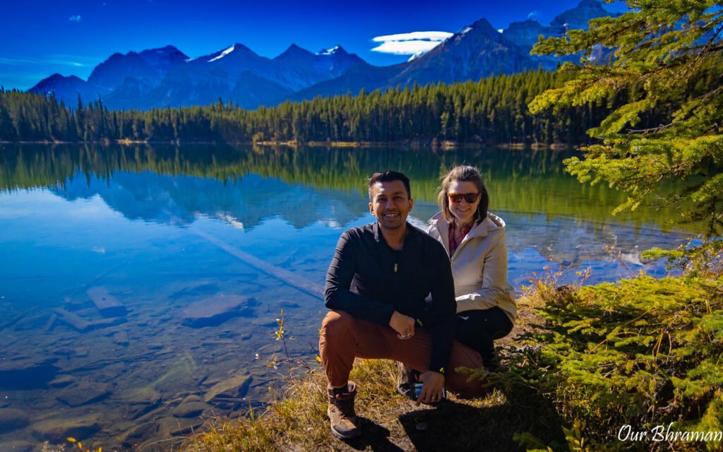
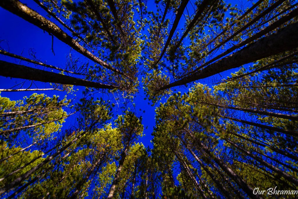
As you reach Herbert Lake, you are getting close to the end of the Icefields Parkway journey. After a full day of waterfalls, glaciers and massive mountain landscapes, Herbert Lake will feel like a quiet final chapter before reaching Lake Louise.
Located just a few kilometers from Lake Louise, Herbert Lake is easy to overlook if you’re focused only on the Parkway’s biggest attractions. But that’s exactly what makes it special. While Peyto Lake draws crowds for its iconic turquoise color and Bow Lake impresses with its dramatic mountain backdrop, Herbert Lake has a much more peaceful personality.
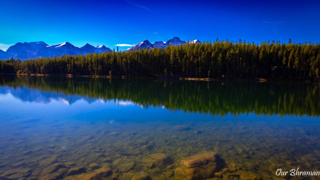
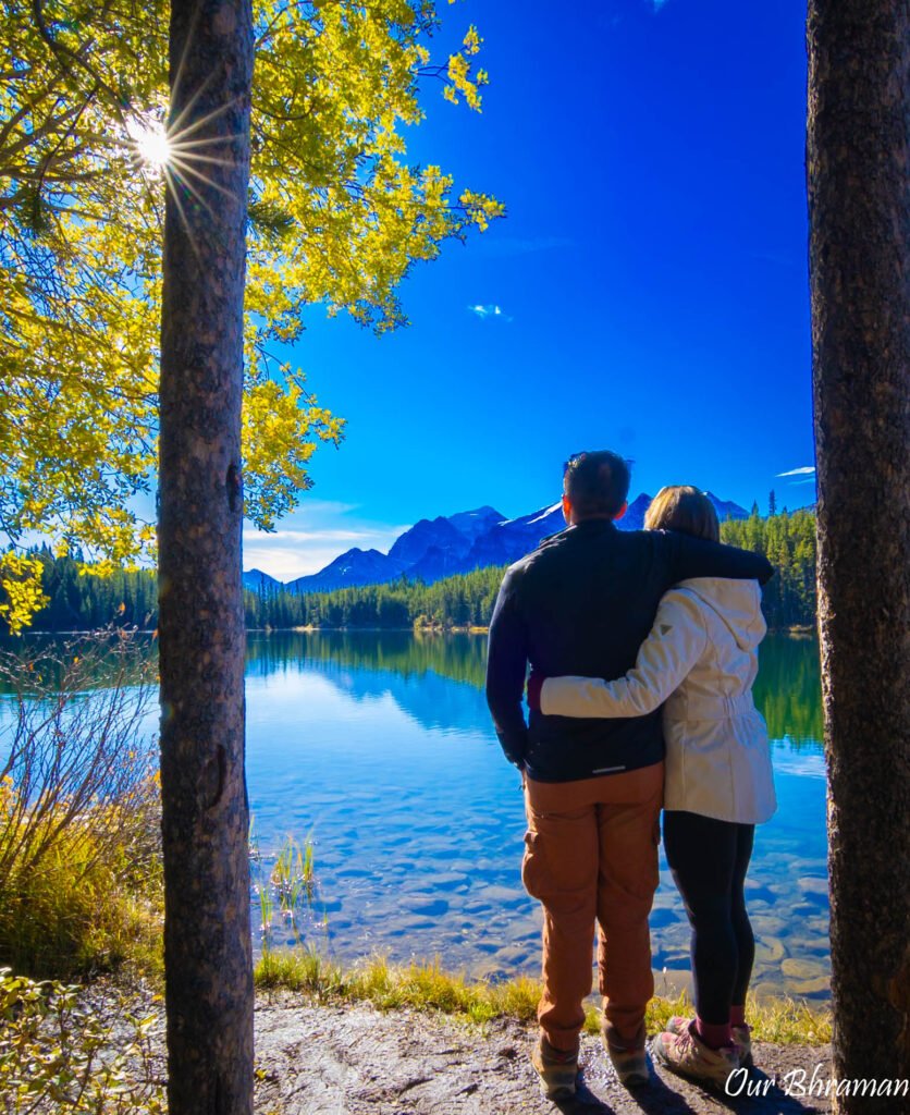
The first thing you’ll notice is the stillness. On a calm day, the surface of the lake can become almost perfectly smooth, creating beautiful reflections of the surrounding mountains. Instead of looking at the mountains rising above the lake, you’re suddenly looking at them twice—once in the sky and once mirrored in the water.
For photographers, this can be an especially rewarding stop. Mount Temple and the surrounding peaks create an incredible backdrop, and when the wind dies down, the reflections can be spectacular.
We also appreciated how easy it was to get out, walk around and enjoy the lake without committing to another long hike. After a full day on the road, that simplicity was welcome.
Herbert Lake doesn’t necessarily demand your attention the way some of the Parkway’s more famous attractions do. You have to slow down enough to notice it. But if you do, you may find yourself spending more time here than you expected.
Now that you have ended at the Lake Louise area, you are now ready to explore Banff National Park.
The Perfect Icefields Parkway Day
If you only have one day, here’s how we’d prioritize the route:
Morning
Jasper → Athabasca Falls → Sunwapta Falls
Start early and visit the waterfalls while the crowds are lighter.
Late Morning
Tangle Creek Falls → Columbia Icefield
Take the short roadside stop at Tangle Creek before spending some time exploring the free trail toward the toe of the Athabasca Glacier.
Afternoon
Peyto Lake → Bow Lake
These two stops are close together and make a perfect afternoon combination.
Late Afternoon
Herbert Lake → Lake Louise
Finish the drive toward Lake Louise and stop at Herbert Lake if the weather and light cooperate.