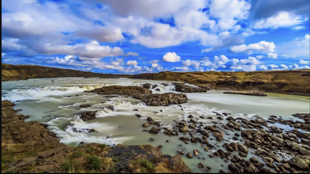
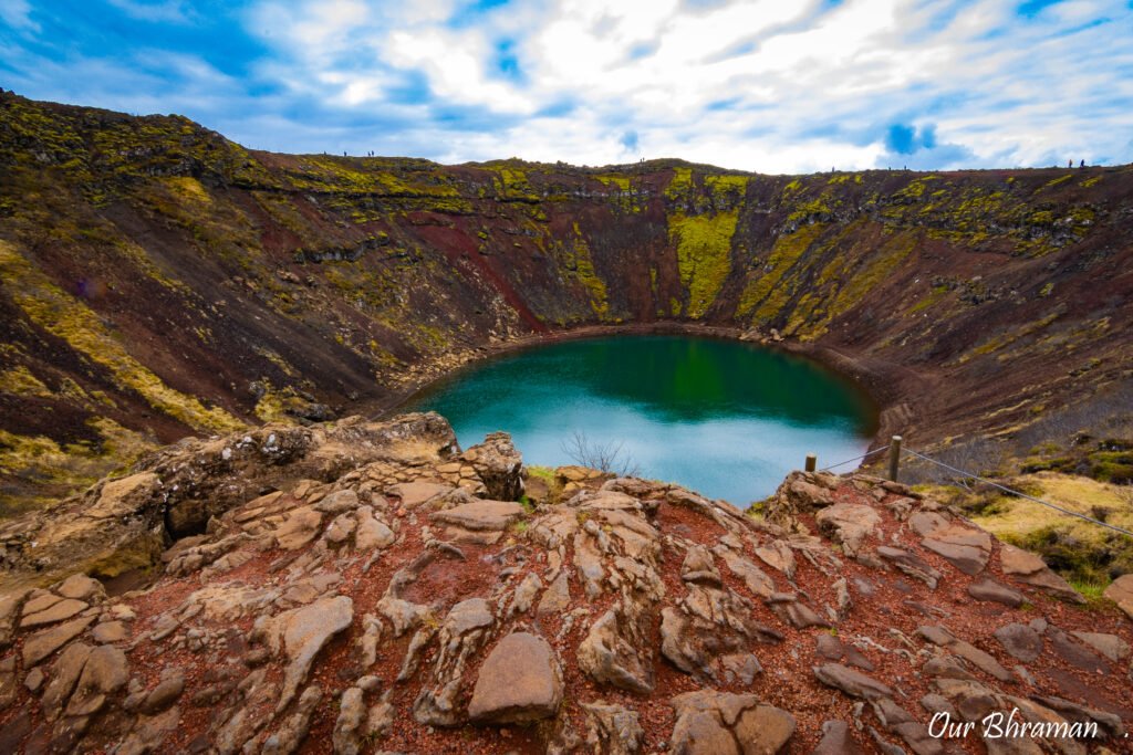
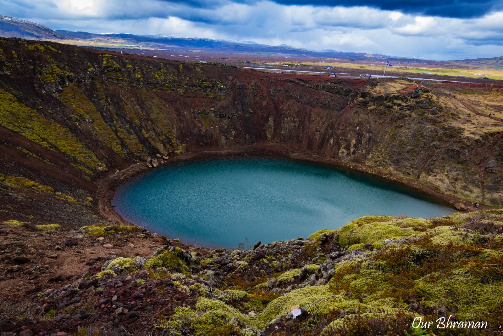
After leaving Urriðafoss, we made our way to Kerid Crater, just a 30-minute drive away. When we arrived, the first thing that caught my eye was the crater’s stunning contrast — a pool of milky blue-green water surrounded by steep black and deep red slopes. Even under a cloudy sky, the colors popped beautifully, giving the place a moody, dramatic feel.
Kerið Crater Origin
Kerið Crater is one of those places where you can’t help but wonder how nature managed to create something so perfectly shaped. Unlike a crater formed by a simple explosion, Kerið was created when an ancient volcanic cone erupted and emptied its magma chamber. With the support beneath it gone, the cone eventually collapsed inward, leaving behind the deep bowl-shaped crater we see today. Over thousands of years, groundwater filled the bottom, creating the striking blue-green lake surrounded by steep red, orange, and black volcanic slopes. Standing on the rim, it almost feels like we were looking into a giant natural amphitheater built by Iceland’s volcanic past.
Entrance Fee
The entrance fee was modest — about 600 KR (around $3.20 USD) per person — paid right at the small ticket booth in the parking lot. From there, it’s just a short walk to the rim. The crater is impressive in scale, about 55 meters deep and 170 meters wide, and the water’s unusual color comes from the minerals in the lake.
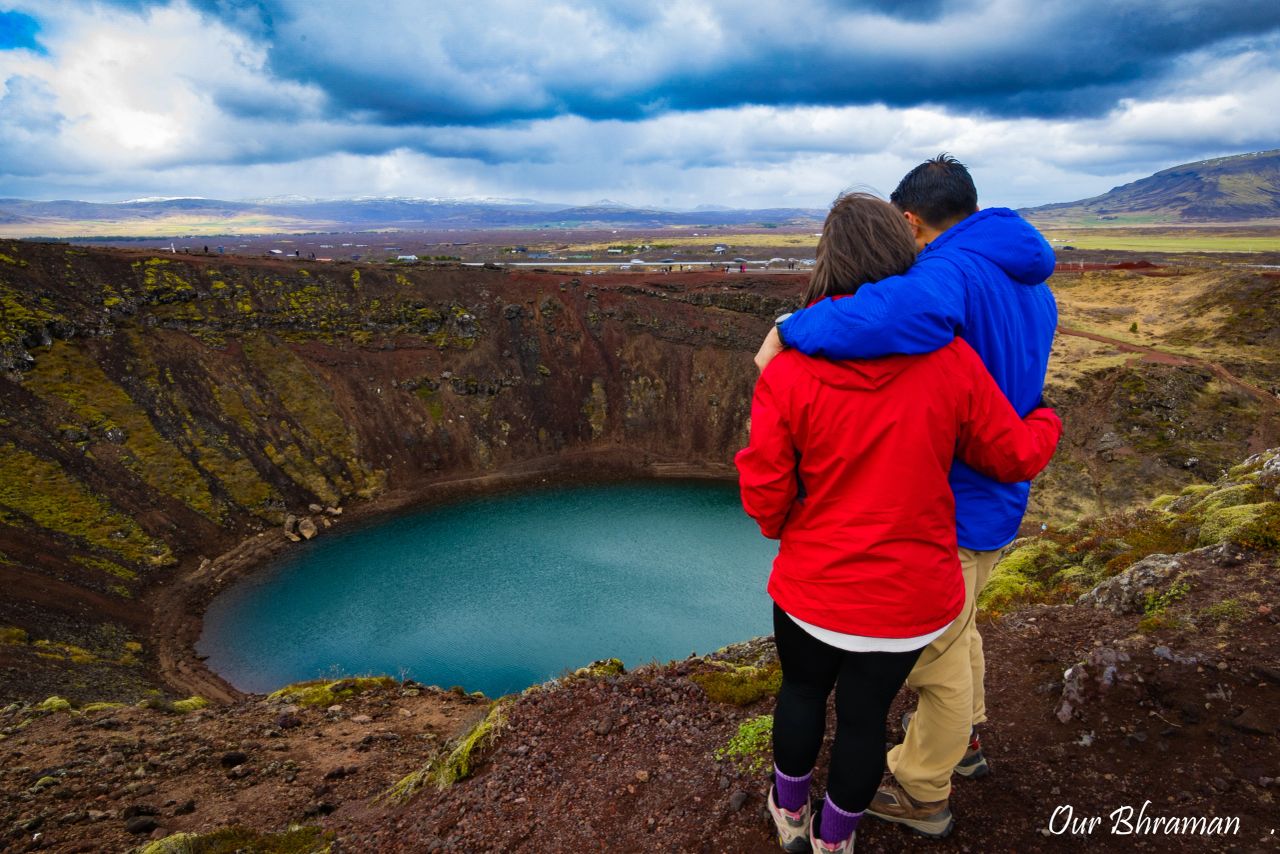
We took the 20-minute walk around the rim, stopping at different points to admire the changing angles and textures. The trail is easy and well-maintained, making it accessible for just about anyone.
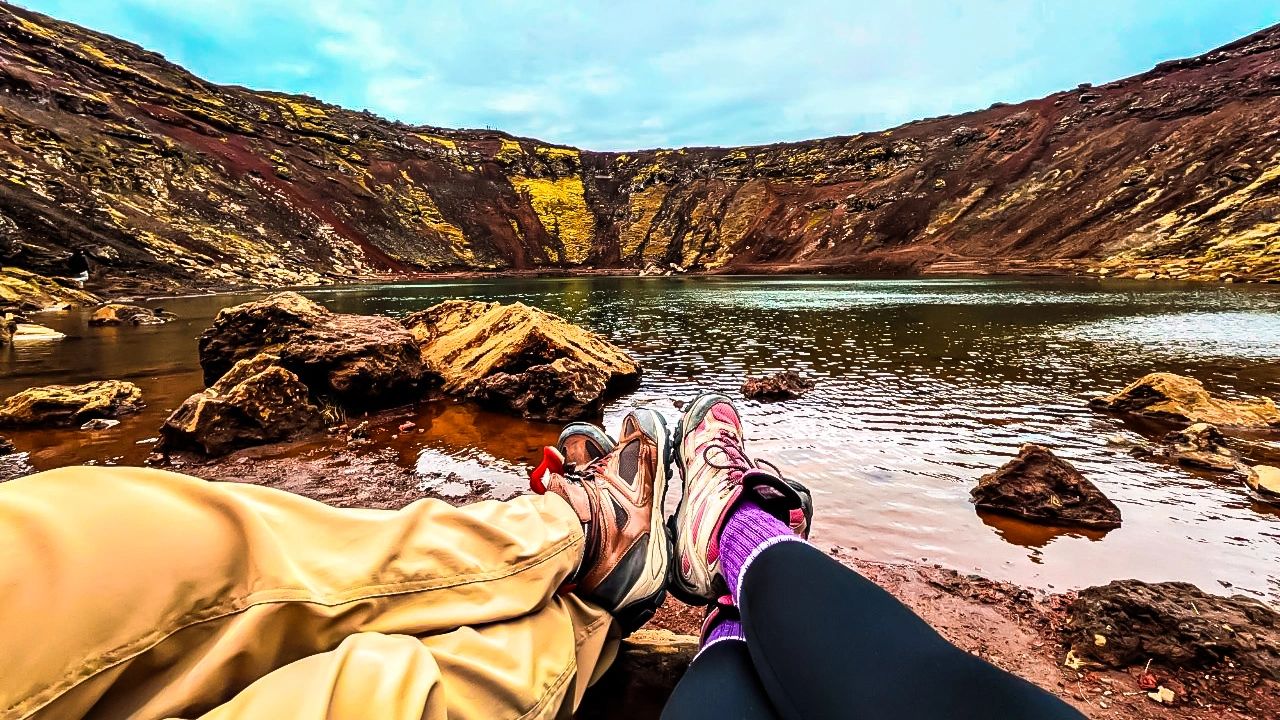
I highly recommend walking down to the water’s edge as well — it only takes about five extra minutes, and standing at the bottom gives you a whole new perspective (and some great photo opportunities).
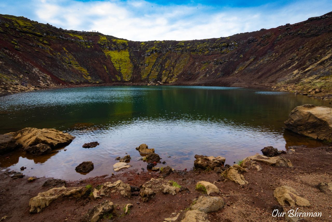
All in all, Kerid Crater is an easy, worthwhile stop you can enjoy in under 30 minutes. Even on a cloudy day, it had a unique charm that made the visit feel special.
Why It Is Blue
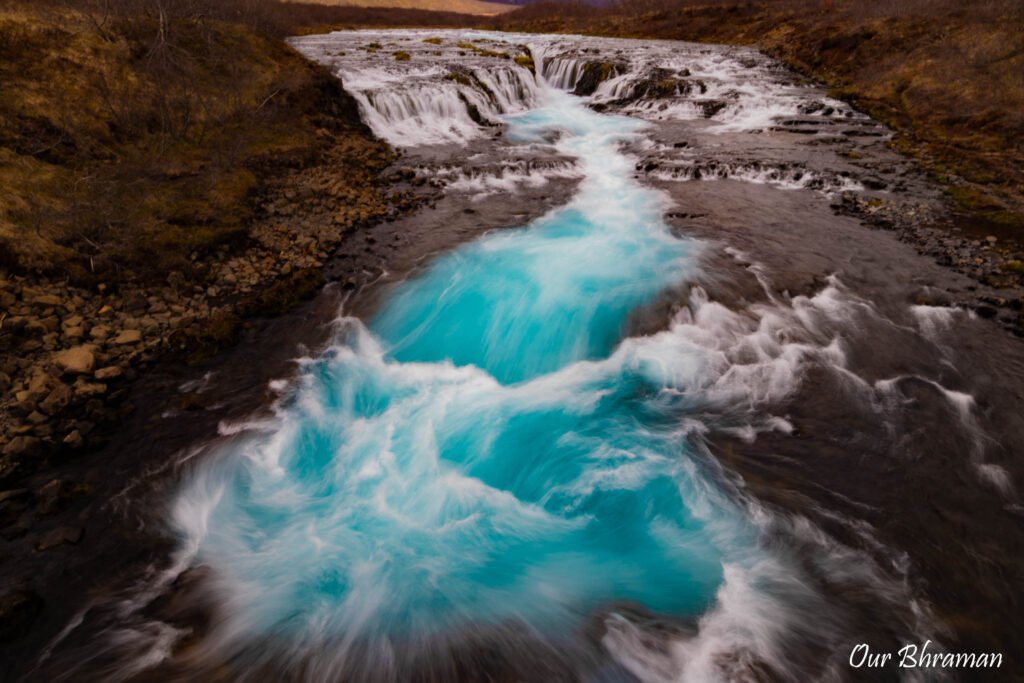
Our next stop was Brúarfoss, famous for its strikingly bright blue water and often called “Iceland’s Bluest Waterfall.” Unlike many of Iceland’s waterfalls, Brúarfoss doesn’t impress you with its size or sheer power. Instead, it grabs your attention with something much more unusual—the almost unbelievable color of its water.
The Brúará River is known for its remarkably clear blue color, created by the way light interacts with the fine sediments and minerals in the water. When the sunlight hits the river just right, the water takes on an intense turquoise-blue glow that almost doesn’t look real. What caught our attention most was the contrast—the brilliant blue water flowing over dark volcanic rocks, surrounded by bright green moss. It looked as if someone had turned up the saturation on the entire landscape.
Brúarfoss may be small compared with giants like Gullfoss or Skógafoss, but that’s exactly what makes it different. It doesn’t need height or thunderous power to impress you; its color does all the talking. Standing there, we understood why this little waterfall has earned such a big reputation.
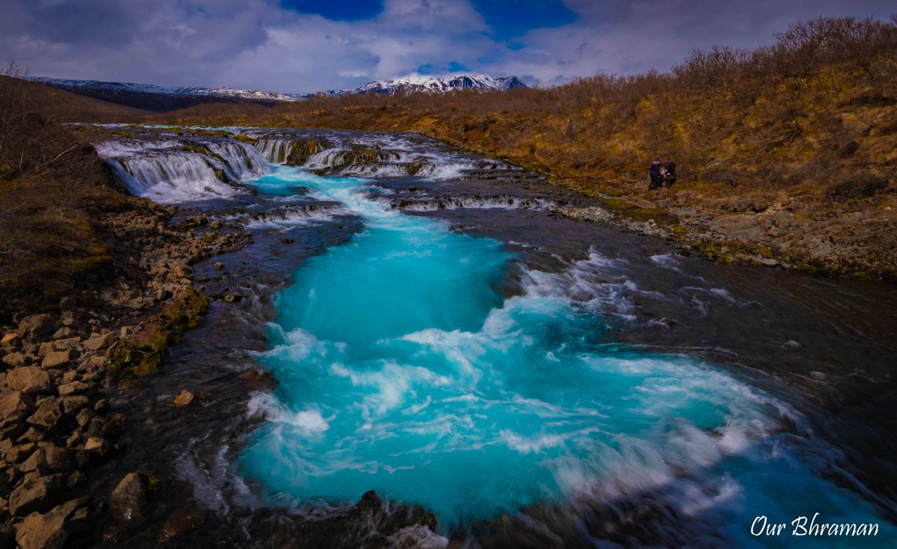 Before heading out, we looked into the two ways to reach it: a longer 4.4-mile scenic hike that passes other smaller waterfalls, or a short 5-minute walk straight to the main attraction. Still recovering from the previous day’s adventures, we happily chose the shorter route.
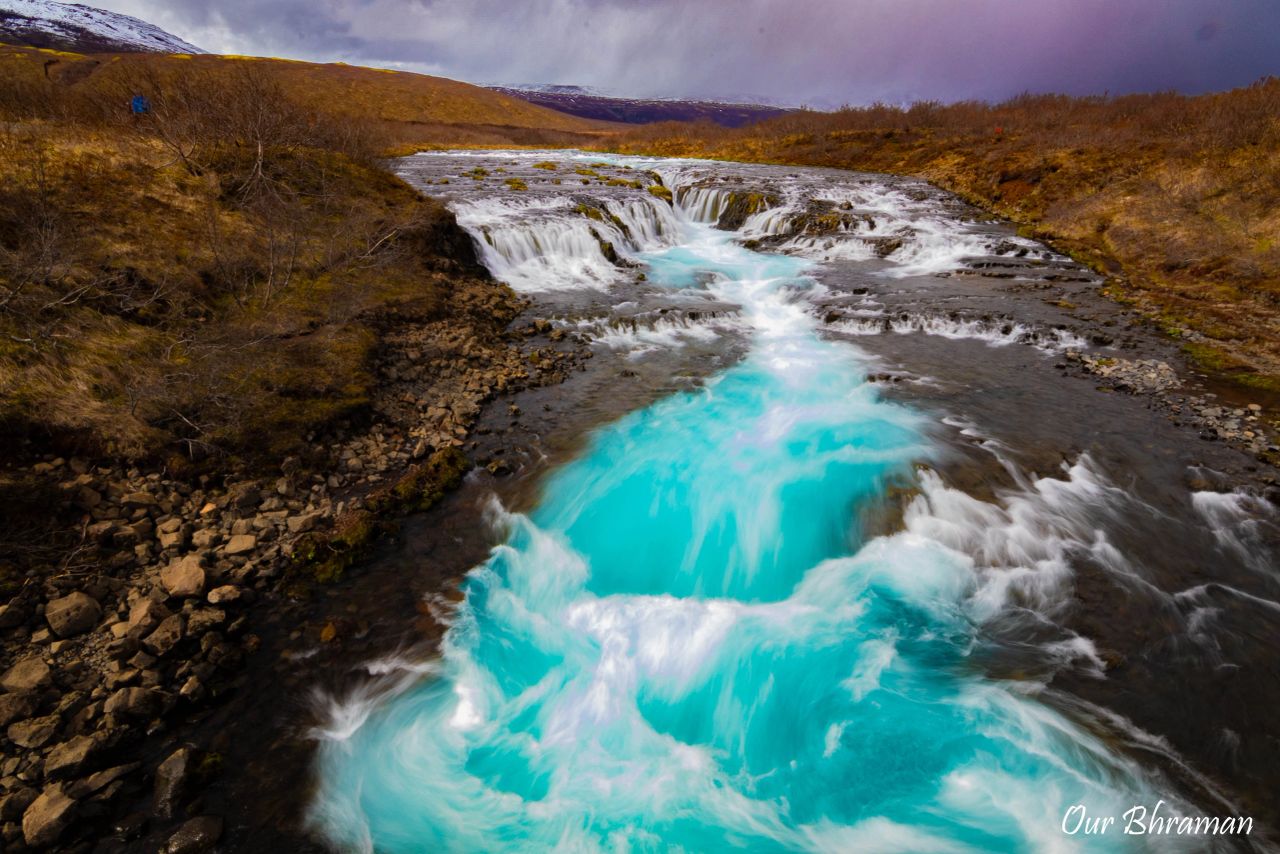
The name Brúarfoss means “Bridge Waterfall,” a nod to the natural stone arch that once spanned the river here centuries ago. The arch has long since collapsed, but the name lives on. The waterfall is fed by the Brúará River, carrying pure glacier melt from the Langjökull Glacier, which gives the water its incredible, almost surreal sky-blue color.
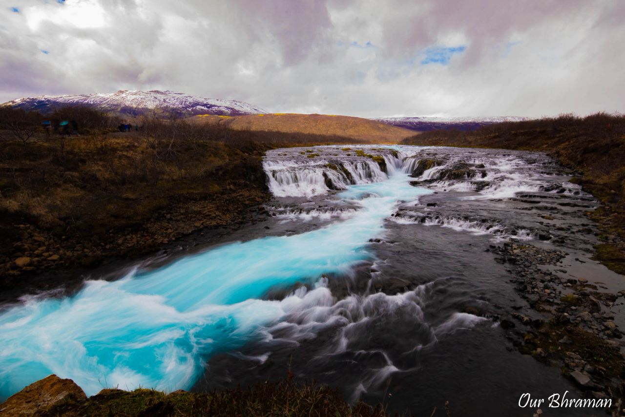
The drive in was much like other Icelandic dirt roads — perfectly fine for our rental van, and we saw plenty of regular cars in the lot. From there, it was an easy stroll along a wide, gently sloping gravel path. Within minutes, the sound of rushing water grew louder, and then we saw it: that electric-blue ribbon of water tumbling over a series of small cascades.
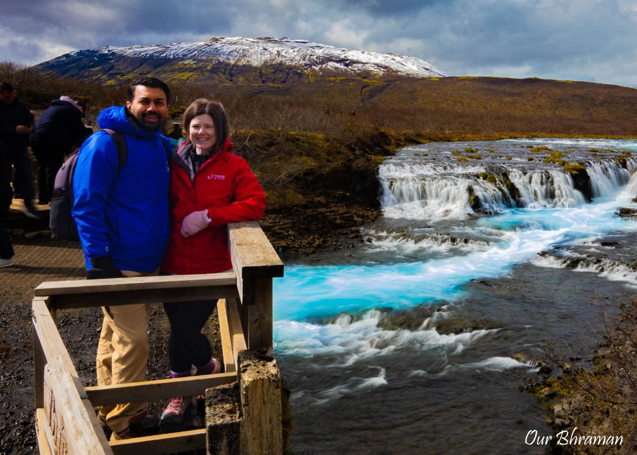
A wooden bridge marks your arrival and offers the perfect vantage point for photos — the kind that make your friends wonder if you’ve mastered Photoshop. For the more adventurous, crossing the bridge and heading down to the riverbank gets you even closer to the action and opens up some amazing photo angles.
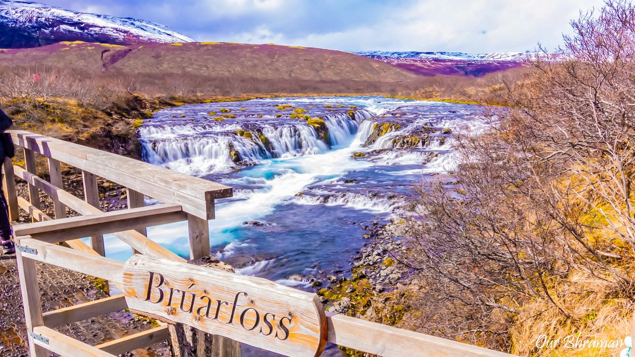
Brúarfoss might not be the biggest waterfall in Iceland, but that brilliant blue water makes it unforgettable. And with such an easy walk, it’s one of those stops that’s all reward with very little effort.
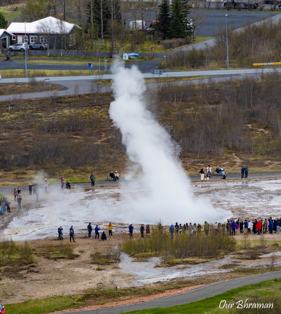
Our next stop was the Geysir Geothermal Area, tucked in the Haukadalur Valley of Southwest Iceland. This place is one of the country’s most iconic natural attractions, and for good reason — here you can witness Strokkur Geyser erupt every 10 to 15 minutes, sending boiling water shooting up to 65 feet (20 meters) into the air. And the best part? It’s completely free to visit, as it’s one of Iceland’s protected natural wonders.
The area takes its name from the legendary Geysir Hot Spring, once one of the most powerful geysers in the world. Geysir now rarely erupts — sometimes years go by between shows — but when it does, it can send water soaring up to 230 feet (70 meters). Even though Geysir is currently inactive, its smaller neighbor Strokkur steals the show and is arguably Iceland’s most famous hot spring.
Geysir Center’s exhibition
Before heading back outside to explore the geothermal area, we also stopped by the Geysir Center’s exhibition, which gave us a little more context about the incredible forces beneath Iceland’s surface. The displays explain the country’s volcanic and geothermal activity, making it easier to appreciate what we were seeing outside—steaming vents, bubbling pools, and Strokkur erupting right before our eyes. It was a nice change of pace from simply watching the geysers and helped connect the spectacular scenery with the powerful geology that created it.
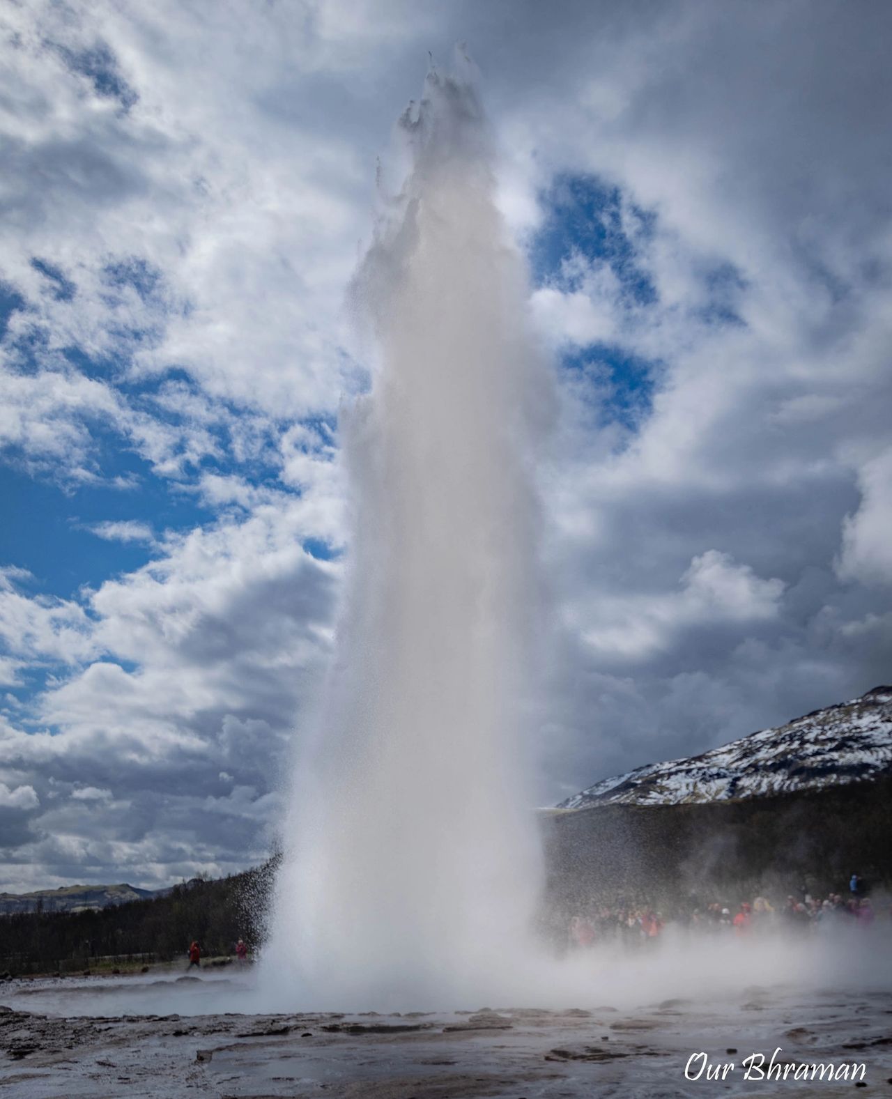
Watching Strokkur is oddly addictive. We waited through several eruptions, camera in hand, trying to time the perfect shot. There’s this moment of anticipation — the water starts to bulge, the crowd collectively holds its breath — and then boom! A massive column of steaming water shoots skyward. The crowd bursts into cheers, and for a moment, everyone is grinning like kids.
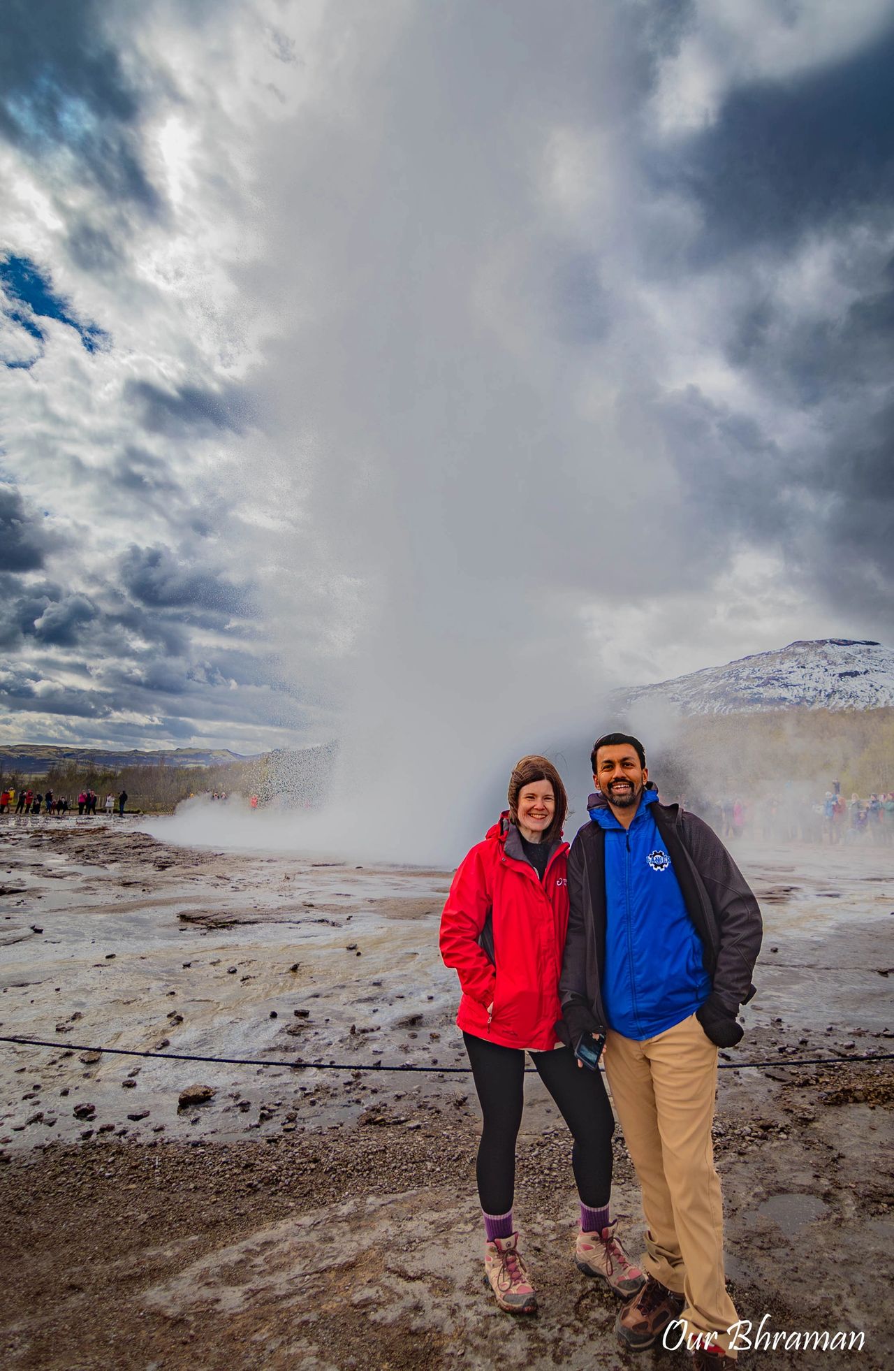
Strokkur Burst Step By Step
1. The calm before the show: At first, everything looks peaceful. The turquoise pool sits quietly, with steam gently drifting into the cool Icelandic air. It’s hard to believe that just beneath the surface, something powerful is building.
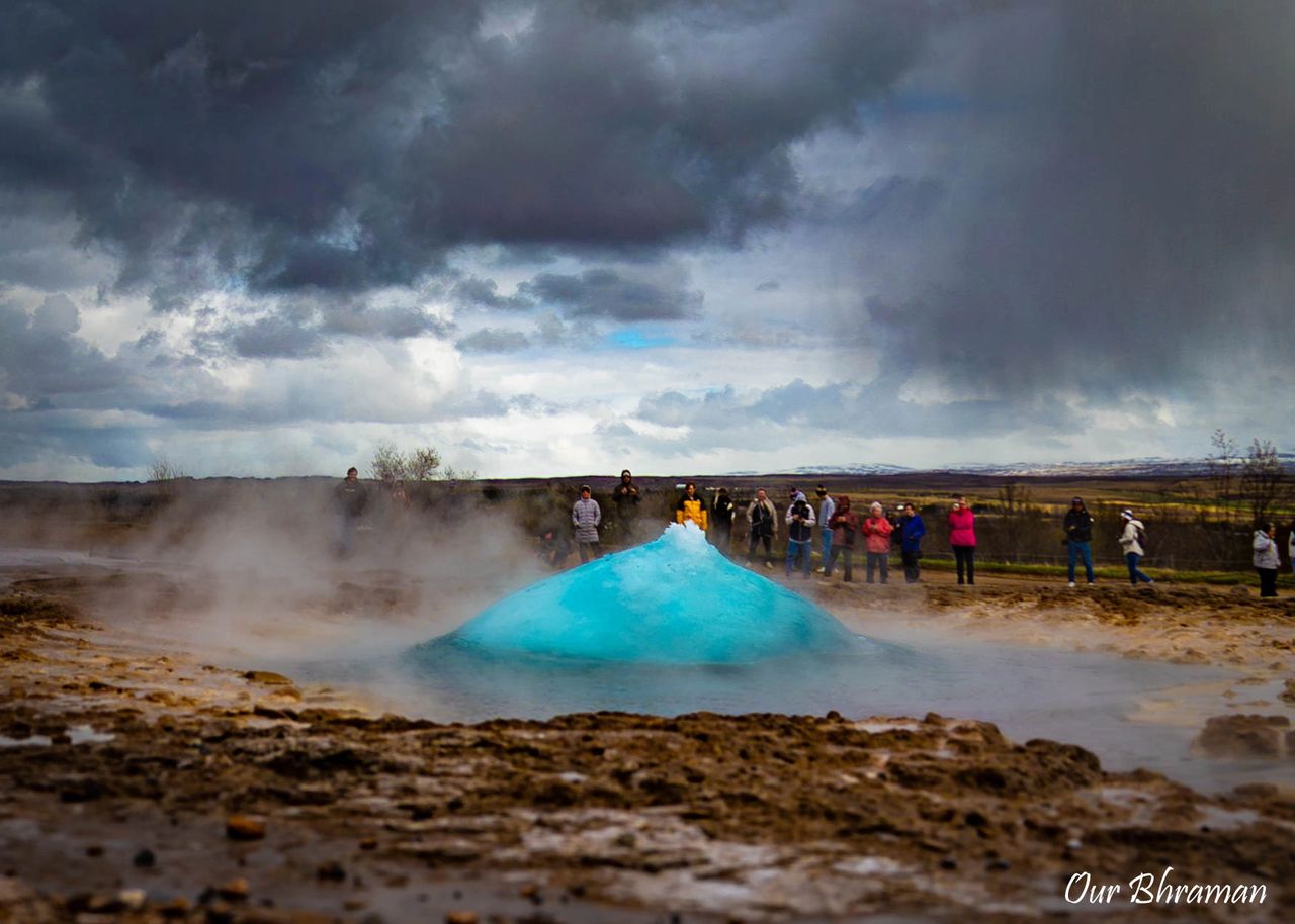 2. The pool starts to breathe: Then you notice something changing. The water begins to rise and sink in a rhythmic motion, almost like the pool is breathing. This is when everyone starts paying closer attention—and cameras suddenly come out.
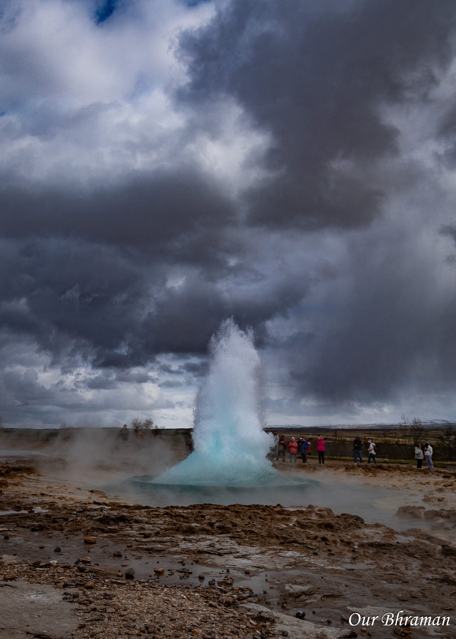 3. The blue dome appears: Suddenly, the surface pushes upward, forming a beautiful blue dome. For just a moment, it looks almost perfectly still, like a giant bubble about to burst.
4. The eruption: Then—boom! The dome collapses and a column of boiling water and steam shoots dramatically into the sky. The whole eruption happens incredibly quickly, lasting only a few seconds, but it’s enough to make the entire crowd react with excitement.
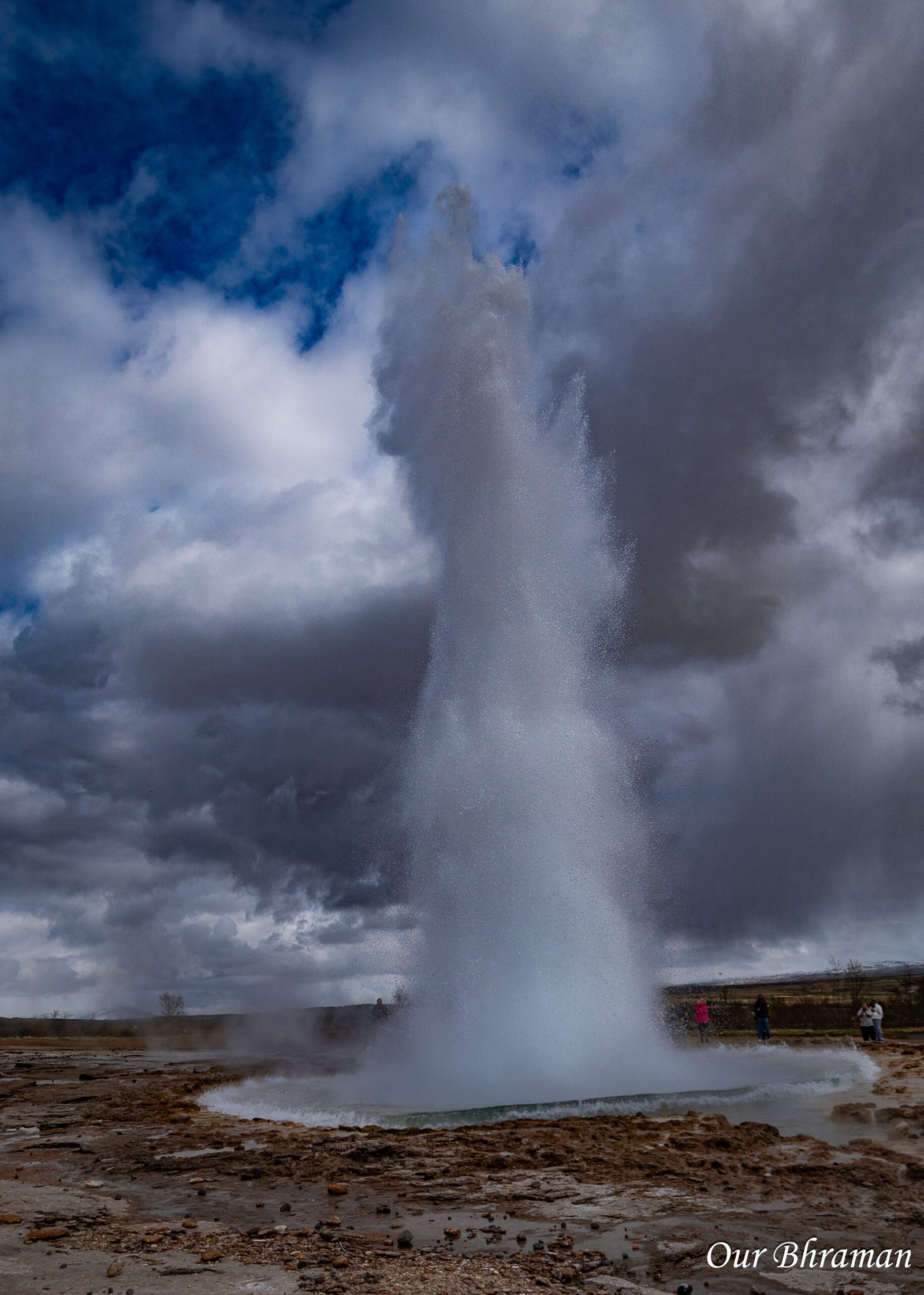 5. Everything starts over: Just as quickly as it erupts, Strokkur settles down. The water falls back into the pool, the steam begins to disappear, and everything becomes calm again. And then you realize—you’re already watching the pool again, waiting for the next eruption.
Smidur and Litli-Strokkur — smaller geothermal features
Beyond Strokkur, the geothermal area is alive with other features. You’ll find smaller geysers like Smidur and Litli-Strokkur, steam vents hissing into the cool Icelandic air, and bubbling mud pots at Thykkuhverir in the southern part of the valley. The fumaroles here stain the ground in shades of yellow and orange, thanks to minerals crystallizing around the vents — a reminder that this is very much an active and restless part of the earth.
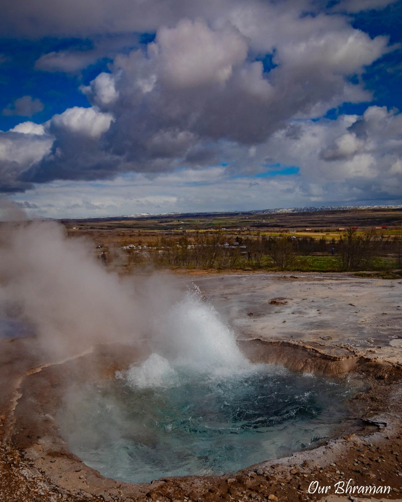
While you’re at the Geysir Geothermal Area, don’t just watch Strokkur erupt and call it a day — take the Loop Trail for the full experience. This 1.2-mile trail winds past all the main geothermal attractions, from bubbling mud pots to hissing fumaroles, and even takes you up a short hill for a sweeping panoramic view of the entire valley.The climb is gentle but gains about 340 feet (~104 meters) in elevation, so you’ll get just enough of a workout to feel like you’ve earned your Icelandic hot chocolate later. Most people can complete the loop in about 45 minutes, and the best part is it starts and ends right at the parking lot.
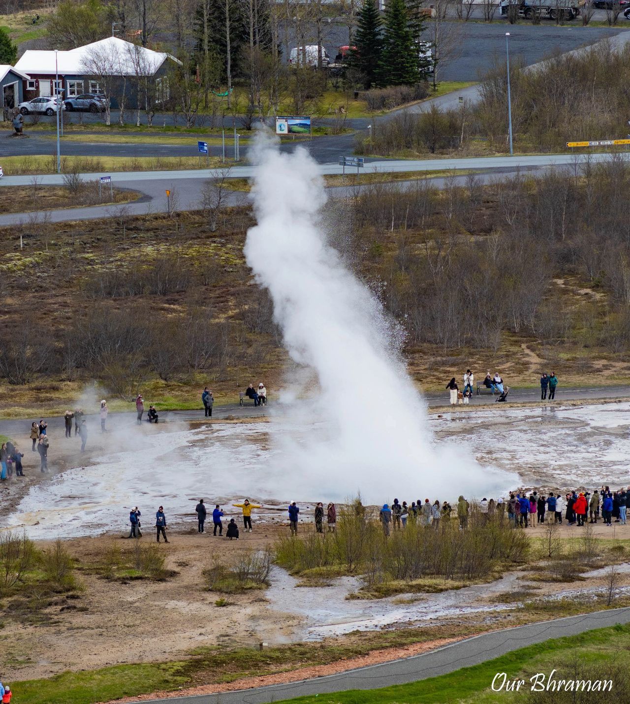
It’s the perfect way to see the geothermal area from multiple perspectives — both up close and from above — and gives you a better appreciation for just how alive this landscape really is.
And before you leave, make sure to stop by the gift shop for souvenirs and take advantage of the free restrooms near the parking lot — a rare and welcome convenience in Iceland.
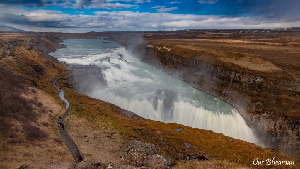
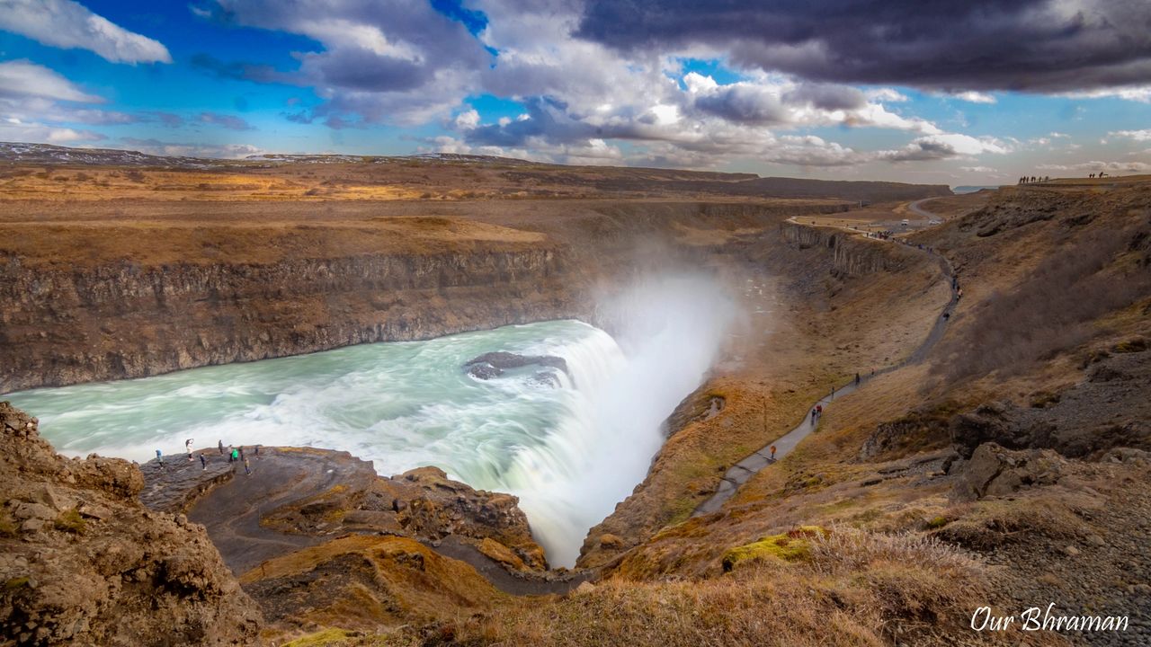
Our next stop was the iconic Gullfoss Waterfall, one of Iceland’s most famous natural wonders. After spending the morning watching geysers erupt, it was quite a change of scenery to hear the thunderous roar of water instead. Gullfoss spreads across two dramatic tiers before plunging into the canyon below, and several walking paths and viewing platforms let you experience it from different angles. We took our time moving between the viewpoints, staying on the designated paths because the ground can get slippery, especially when you’re close to the spray.
And then we got lucky. The sun came out at just the right moment, lighting up the mist rising from the waterfall and creating rainbows almost everywhere we looked. Naturally, that meant we kept moving from one viewpoint to another, hoping each new angle would give us an even better view. It quickly became one of those stops where you realize you’re not ready to leave yet.
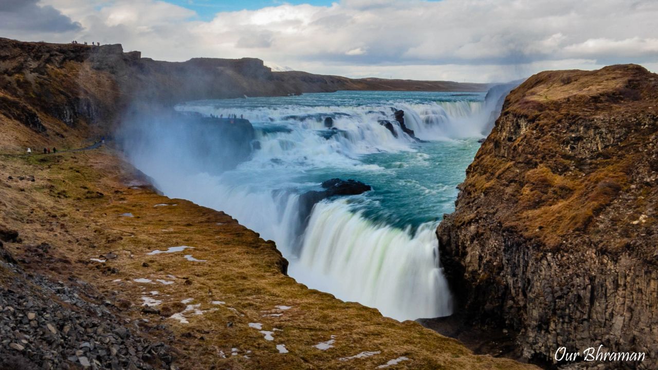 Our Tip: If you’re visiting Gullfoss, don’t rush through it. Give yourself time to experience the waterfall from different viewpoints because each one reveals something different about the two-tiered cascade and the canyon. For photography, early morning or late afternoon can provide softer light, while sunshine combined with the spray gives you the best chance of catching those beautiful rainbows.
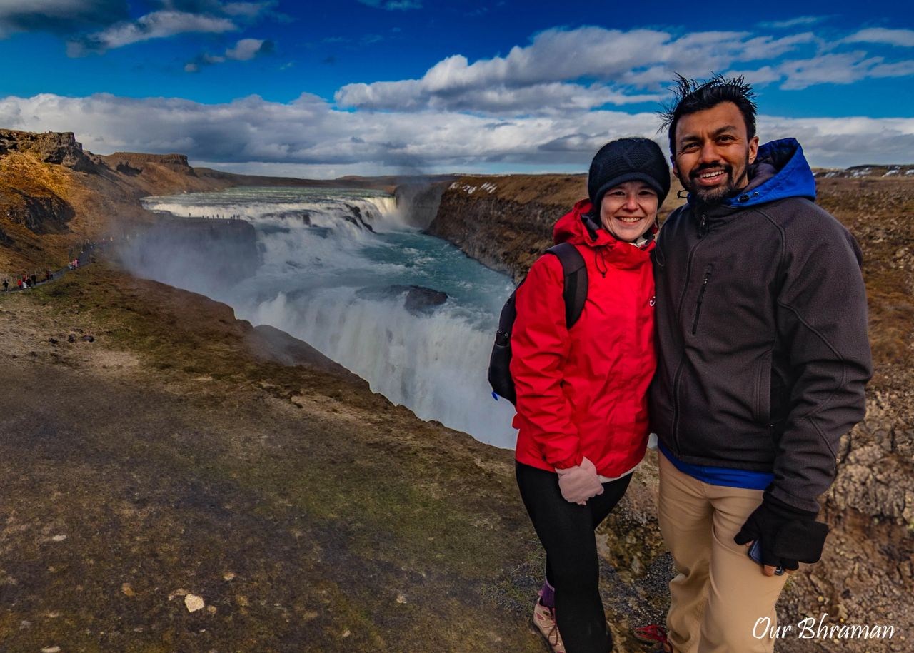
We found the west side the easiest to explore, with well-maintained paths, viewpoints, and visitor facilities. If you want something quieter and a little more rugged, the east side offers a wilder experience with fewer facilities and some excellent views of the upper waterfall. It’s also worth checking the 3D map of Gullfoss before your visit so you have a better idea of how everything is laid out. For us, though, the best part was simply standing there, watching the water roar into the canyon while rainbows kept appearing in the mist. It felt magical, like nature was putting on a special show just for us.
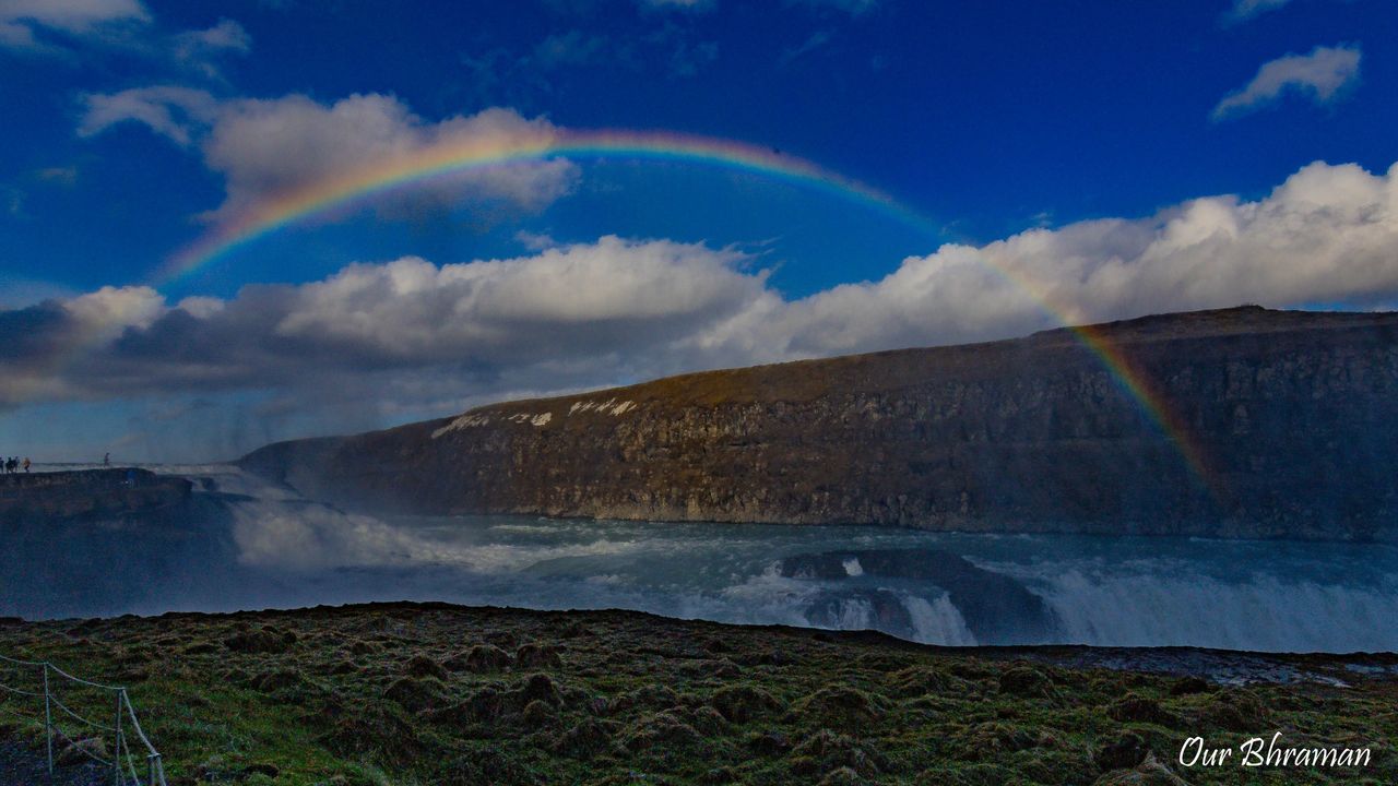
Gullfoss is impressive not just for its beauty, but also for its raw power. The waterfall has two distinct drops — one measuring 36 feet (11 meters) and the other 69 feet (21 meters) — for a combined height of 105 feet (32 meters). It was formed during the last ice age, when glacial runoff carved the dramatic canyon in the Hvítá River. Today, the water crashes over a series of cascades before plunging into the canyon below, sending mist and spray high into the air.
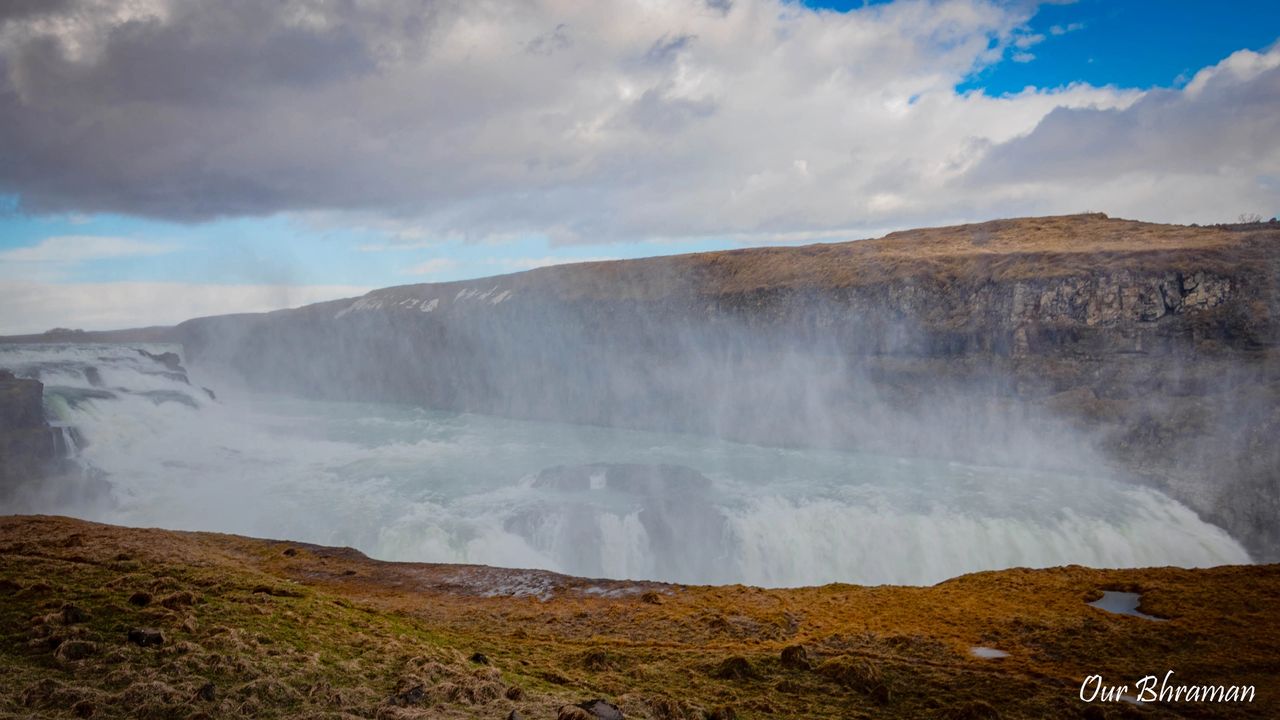
Upper Viewpoint at Gullfoss (Panoramic View)
The main Gullfoss lookout is just a short stroll from the parking area, which is well-signed and hard to miss. This spot is perfect for taking photos without worrying about getting drenched. Once you park, you’ll find two main paths to explore. The upper path offers sweeping panoramic views of the falls as they plunge into the Hvítá River canyon.
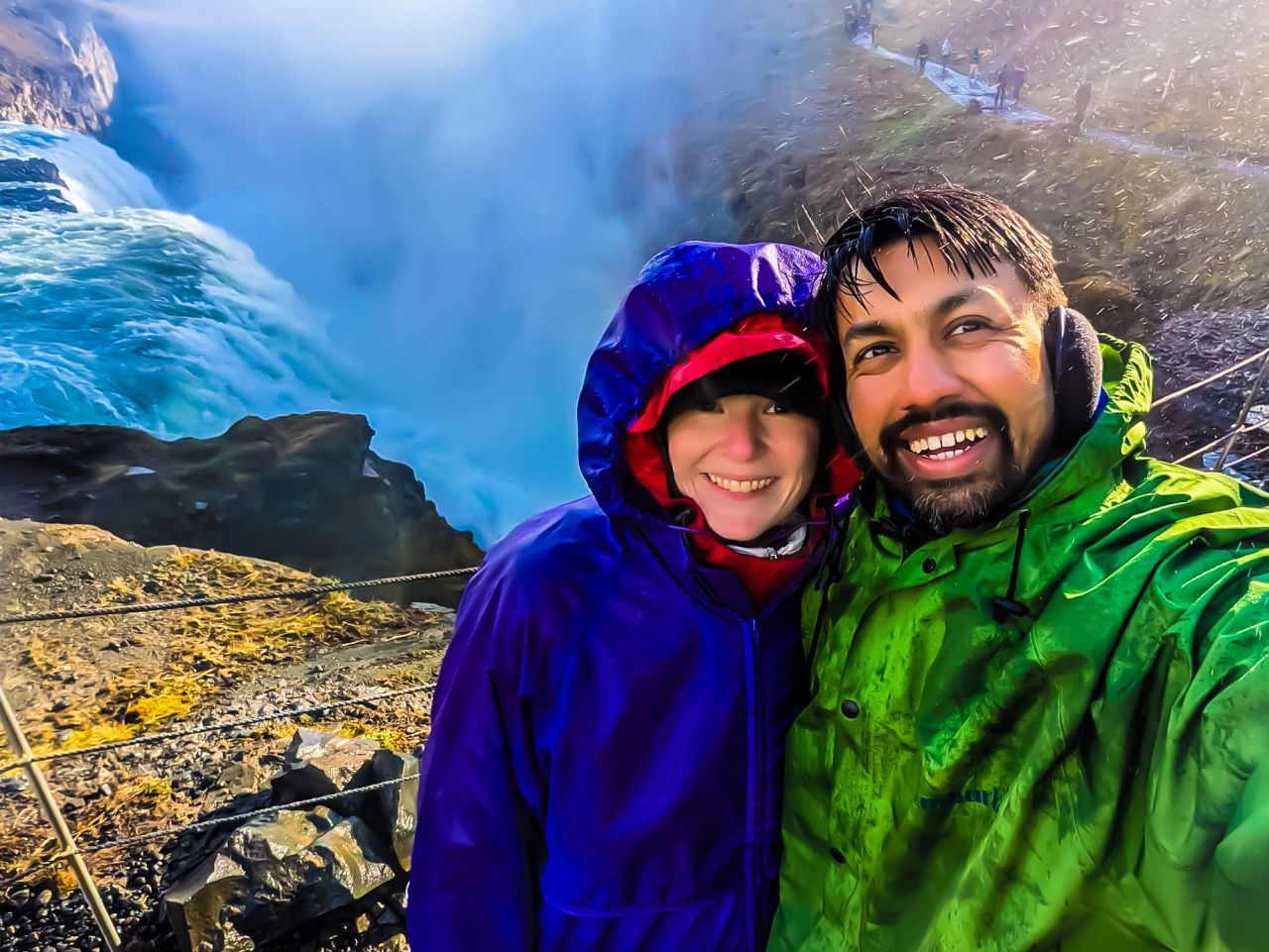
Lower Viewpoint at Gullfoss
The lower path brings you right to the edge of the gorge, where you can feel the mist on your face and hear the thunder of the water up close.
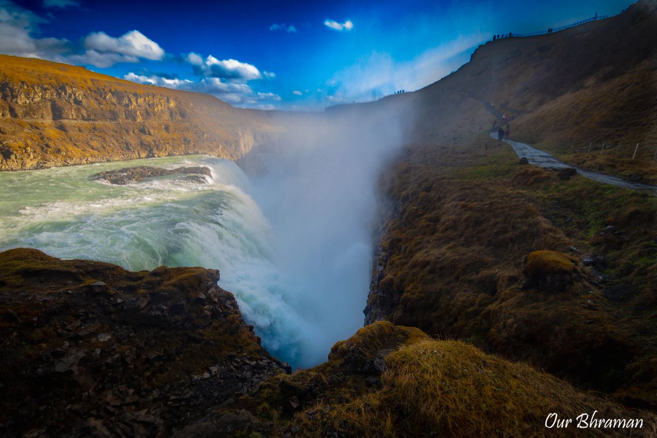
At the lower viewpoint, we had to be extra careful to protect our camera from the mist. Taking pictures here was a bit of a challenge — constant lens wiping, finding the right angle, and timing each shot between bursts of spray felt like a trial-and-error game. But it was worth it — we managed to capture a few shots we’re really proud of.
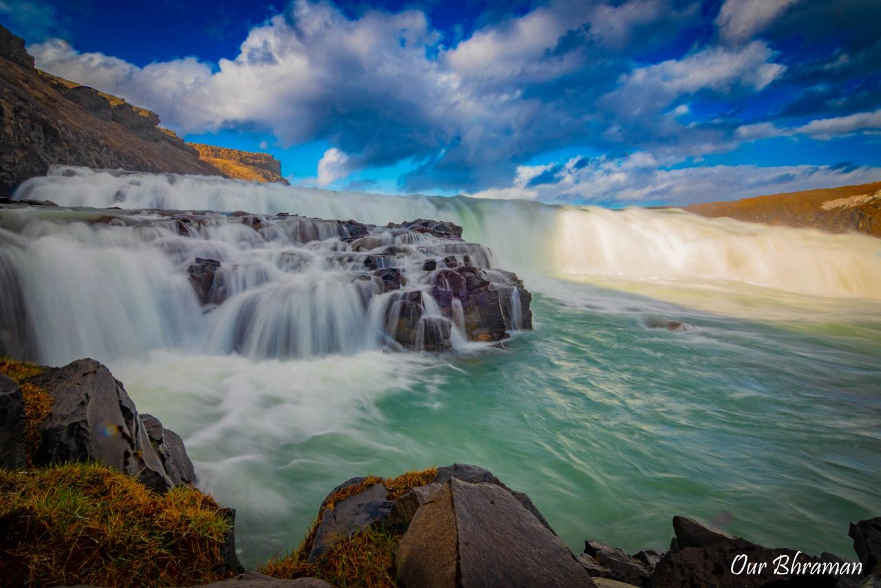
You can easily spend 1–2 hours enjoying both lookout points. If you’re quick with your camera, an hour is enough, but if you like to linger — chasing that perfect shot or simply soaking in the roar of the falls — plan for more time. Both viewpoints are worth it, and each offers a unique perspective of this Icelandic gem.
Visitor Center And Parking Lot
By the time we finished exploring Gullfoss, we were thoroughly soaked from the spray. At that point, we decided it was time to head toward the Visitor Center, peel off a few wet layers, and make good use of the restrooms before getting back on the road. The Visitor Center is located beside the upper parking lot, which is the larger and busier of the two parking areas. From there, it’s just a short walk to the main viewpoints, making it the most convenient option if you want easy access to the waterfall, restrooms, café, and gift shop.
There is also a lower parking area, closer to the canyon and the lower viewpoint. It tends to be quieter and gives you easier access to the lower section of Gullfoss, although access can be affected by weather and seasonal conditions. Both parking areas are free, which was a nice surprise at such a popular attraction.
After drying off as much as we could, grabbing what we needed from the car, and making one last check of our cameras, we were ready to move on. Gullfoss had given us everything—from thunderous water and mist-covered viewpoints to sunshine and rainbows—and now it was time for our final stop of the day: Þingvellir National Park.
Öxarárfoss Waterfall
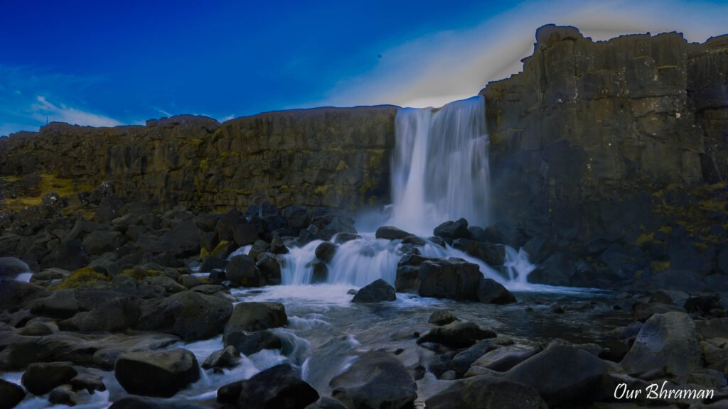
Our last stop of the day was a short hike to Öxarárfoss Waterfall, one of the highlights of Þingvellir National Park. The trail to the falls is about 1.6 km from the parking area and mostly flat, making it an easy and relaxing walk. Along the way, we found ourselves stopping often — there were so many interesting sights that we reached the base of the waterfall almost without realizing how far we’d gone.
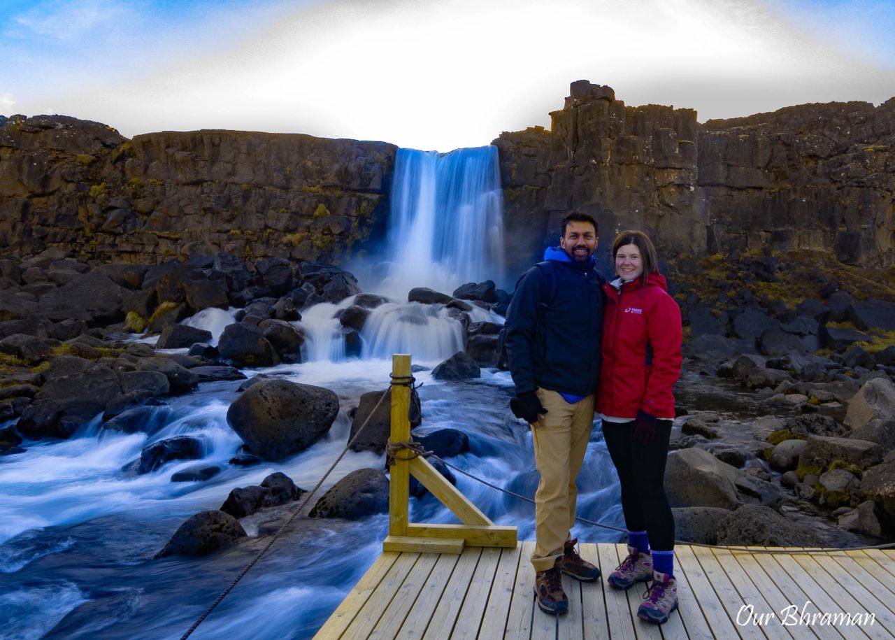
At just 20 meters tall, Öxarárfoss isn’t the highest or most dramatic waterfall in Iceland, especially compared to the giants we had already visited on this trip like Seljalandsfoss, Skógafoss, and Gullfoss. But waterfalls shouldn’t always be compared — each one has its own personality, and Öxarárfoss has a charm all its own. Its steady, graceful flow over the dark lava rock, framed by moss and rugged cliffs, made it feel peaceful rather than overwhelming.
We spent about 45 minutes here, hiking to the falls and back to the parking lot. You can actually make a loop trail that passes by a quaint church and the famous Silfra fissure, but with daylight fading and our stomachs rumbling, we decided to save that route for another visit.
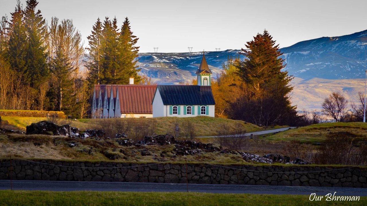
On our way back toward the parking lot, we caught a distant glimpse of Þingvellir Church, its white walls and dark roof standing out against the green fields and surrounding lava formations. The church looked picture-perfect, almost like it was placed there just for postcards. Unfortunately, with time running short and a long trail ahead, we couldn’t walk all the way over — but even from afar, it added a serene, timeless touch to the landscape.