17-Mile Drive: A Scenic Coastal Road Trip Through Pebble Beach
Imagine driving through a peaceful coastal forest, emerging onto rugged cliffs overlooking the Pacific Ocean, and discovering a landscape where crashing waves, fascinating wildlife, and iconic Monterey cypress trees create unforgettable views. Welcome to 17-Mile Drive, one of California’s most beautiful scenic drives.
Located on the Monterey Peninsula, 17-Mile Drive winds through Pacific Grove and Pebble Beach, combining spectacular ocean views with forested landscapes, historic landmarks, and world-famous golf courses. Although the drive is relatively short, the number of scenic stops makes it easy to spend several hours exploring.
We entered through the Highway 1 Gate and followed the route through the Del Monte Forest toward the coastline. Along the way, we encountered sandy beaches, rocky headlands, wildlife-covered offshore rocks, and some of the most recognizable scenery on California’s Central Coast.
The route features 17 designated points of interest, but we didn’t stop at every one. We skipped a few viewpoints, encountered some closed locations, and spent more time at the places that caught our attention.
That is part of the beauty of a scenic drive: you can tailor the experience to your interests and the time available.
Entering 17-Mile Drive from Highway 1
Entering from Highway 1 is a convenient option when you’re exploring Monterey, Big Sur, or the surrounding coastline. After paying the entrance fee, you receive access to the privately managed scenic road through Pebble Beach.
The route is marked with signs directing visitors to the numbered points of interest, making it relatively easy to follow. Before setting off, pick up a map or check the official Pebble Beach 17-Mile Drive guide to familiarize yourself with the stops.
Travel Tip
Allow at least two to three hours if you want to enjoy several viewpoints without rushing. More time is worthwhile if you plan to walk along the beaches or take photographs.
The drive is generally open to the public from sunrise to sunset, but access, individual viewpoints, and facilities can change.
The coastal weather can change quickly. Even on a sunny day, bring a light jacket because the ocean breeze can be chilly.
Use designated parking areas and never stop in the roadway for photographs.
Keep an eye out for wildlife, particularly sea lions, harbor seals, and seabirds around the rocky shoreline
With our route planned, we began our journey through the 17 stops, starting with two forest viewpoints we decided to skip.
Stop #1: Shepherd's Knoll — Skipped
Shepherd’s Knoll is an elevated viewpoint in the Del Monte Forest that offers views across Monterey Bay. On a clear day, visitors may be able to see toward Santa Cruz on the opposite side of the bay.
The name has an interesting history. The viewpoint was named after Abraham D. Shepard, a railroad figure associated with the development of the scenic route. An early map reportedly introduced the spelling “Shepherd’s Knoll,” which stuck.
We decided to skip this stop and continue toward the coastline. While forest viewpoints can be lovely, we were particularly interested in the beaches, rocky headlands, and ocean scenery ahead.
Stop #2: Huckleberry Hill — Skipped
Our next skipped stop was Huckleberry Hill, another forested viewpoint along the route.
As its name suggests, the surrounding hills are associated with huckleberry plants. The area also offers a different perspective on the Monterey Peninsula, with tree-covered hills and distant coastal views.
The forest provides a peaceful contrast to the exposed shoreline that appears later in the drive. If you’re visiting during a busy season, these quieter stops may offer a welcome break from the more popular ocean viewpoints.
We chose to keep moving, saving our time for the coastal landmarks.
Stop #3: Spanish Bay Beach

Spanish Bay Beach was our first major coastal stop, and it was a wonderful introduction to the scenery that makes 17-Mile Drive so memorable.
The beach features pale sand, rolling dunes, and waves stretching toward the horizon. Unlike the rugged rock formations found at some of the later stops, Spanish Bay offers a more open coastal landscape, with plenty of space to appreciate the sound of the ocean.
The beach also has an interesting historical connection. In 1769, Spanish explorer Gaspar de Portolá and his expedition camped in this area while searching for Monterey Bay. Their journey helped give Spanish Bay its name.
Today, the area is popular for walking, enjoying the ocean views, and exploring the shoreline. A boardwalk along part of the coast makes it possible to appreciate the landscape without needing to walk directly across the dunes.
Our recommendation: Don’t rush past this stop. Take a few minutes to enjoy the fresh sea air and watch the waves before continuing along the coast.

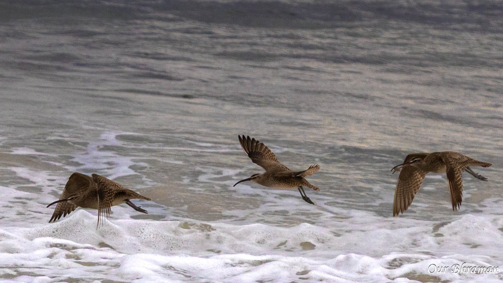
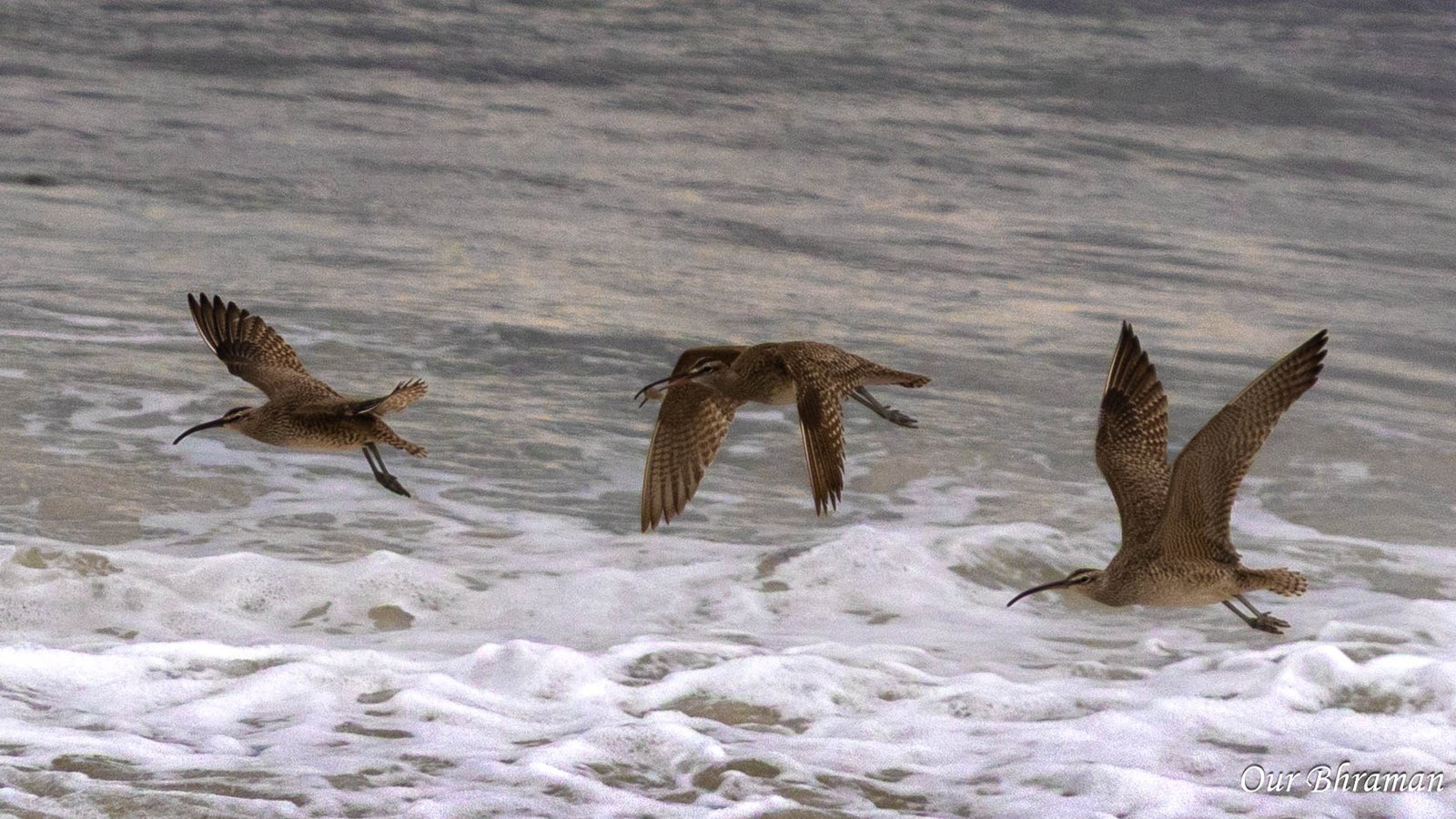

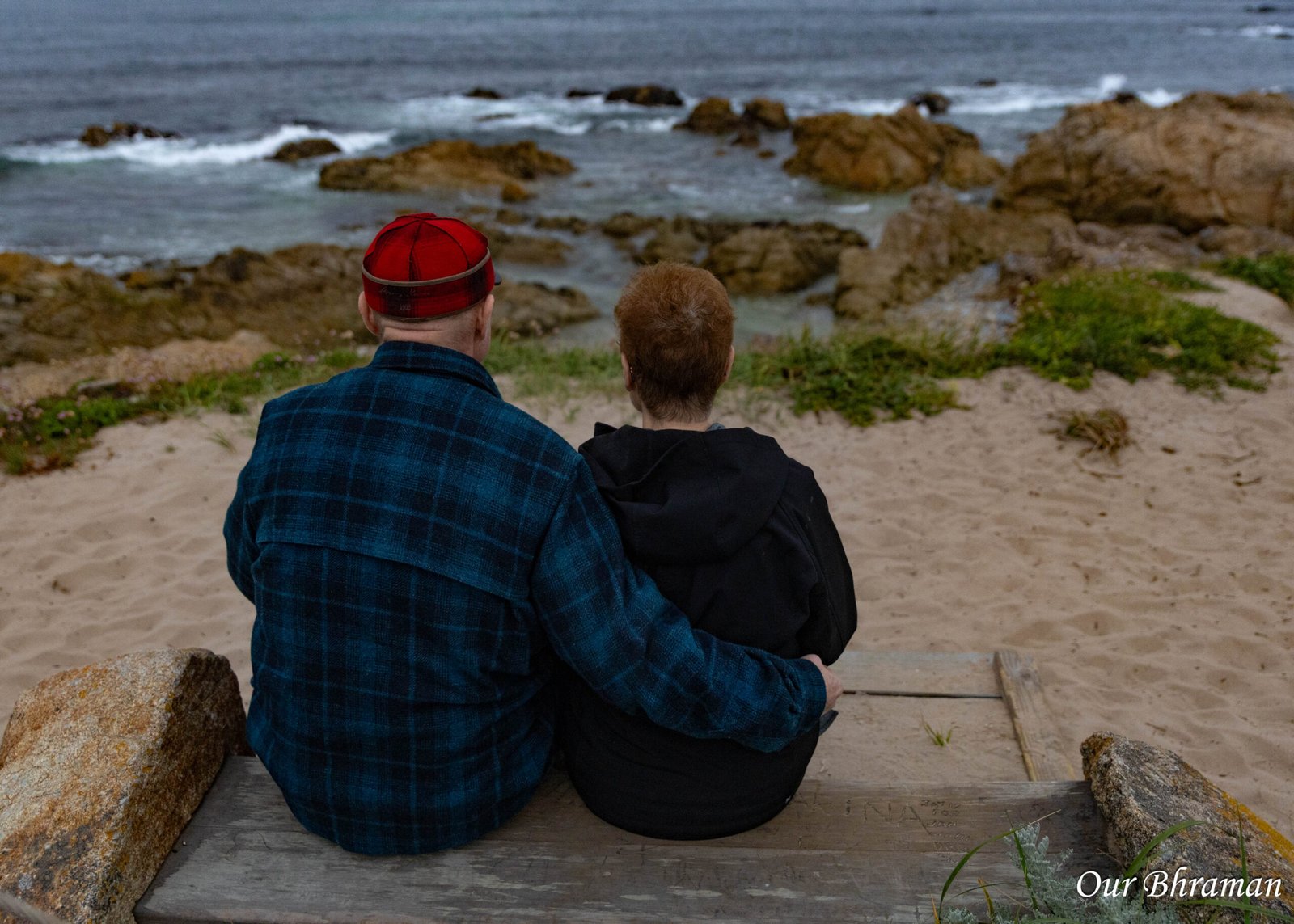
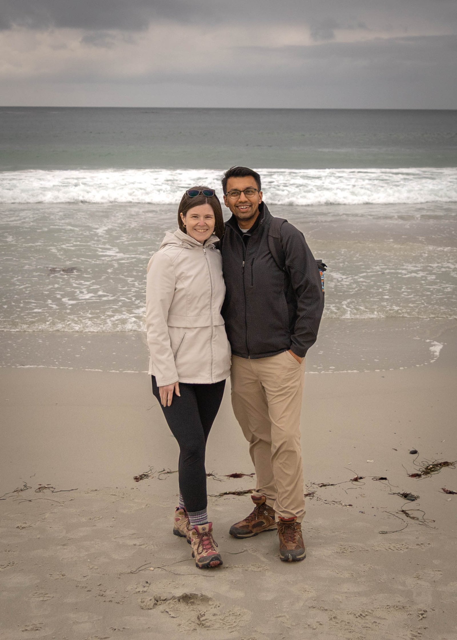
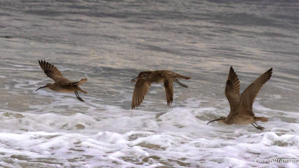
Stop #4: The Restless Sea
As we continued along the coast, we reached the aptly named Restless Sea, where the Pacific Ocean seems to be in constant motion.
Here, waves crash against rocky outcrops, collide with one another, and surge through the gaps between submerged rocks. The resulting turbulence gives this stretch of coastline its distinctive name.
Unlike a calm sandy beach, this is a place to appreciate the raw power of the ocean. Even when the surrounding landscape seems peaceful, the water can be surprisingly energetic.
The waves create constantly changing patterns of white foam against the dark rocks, making this a particularly interesting stop for photographers.
Stop #5: Point Joe
Point Joe is one of the most historically interesting stops along 17-Mile Drive. From this rocky headland, you can look out across the Pacific and appreciate the rugged shoreline that once posed a serious challenge to mariners navigating this part of the California coast.
Before modern navigation techniques, some sailors mistakenly believed Point Joe marked the entrance to Monterey Bay. That navigational confusion contributed to shipwrecks along this stretch of coast.
The point also has an unusual local story. In the early twentieth century, a man known as Joe reportedly lived in a driftwood shelter here, selling trinkets to visitors and tending goats. The exact origin of the name remains uncertain.
Standing at the viewpoint, it’s easy to understand why this coastline could be difficult to navigate. Rocky formations extend into the water, and the waves can make the shoreline look deceptively dangerous.
Point Joe is also a good reminder that California’s scenic coastline has a maritime history extending far beyond its modern reputation as a road-trip destination.
Stop #6: China Rock — A Brief Stop
China Rock was one of the smaller stops on our route. We didn’t find a great deal to explore here, so we kept our visit brief.
Although the viewpoint itself may seem modest compared with some of the more dramatic coastal stops, it has an important historical connection. A small Chinese fishing community lived in this area during the late nineteenth century, when Chinese immigrants contributed to the fishing industry along the Monterey Peninsula.
The rocky shoreline provided a setting for their fishing activities, and the name China Rock preserves a connection to that community.
It’s a reminder that the history of California’s coast is not limited to explorers, shipwrecks, and wealthy seaside resorts. Immigrant communities also played an important role in shaping the region.
Our take: If you’re short on time, this can be a quick look rather than a lengthy stop. However, if you enjoy local history, it is worth knowing the story behind the name.
Stop #7: Bird Rock
Bird Rock was one of the wildlife highlights of 17-Mile Drive. This offshore rock formation provides a resting place for seabirds and marine mammals, including sea lions and harbor seals. Depending on the season and conditions, you may see animals resting on the rocks, moving between the water and their resting spots, or calling noisily to one another.
The rock has an unusual history of its own. For years, it accumulated thick deposits of seabird guano, which was harvested for use as fertilizer until around 1930. After the rock was cleaned, sea lions increasingly used it as a resting place.
Today, the wildlife makes Bird Rock a particularly rewarding stop for visitors who enjoy observing animals in their natural environment.
We recommend taking your time here rather than simply snapping a quick photograph and moving on. Watch the rocks and water for a while, and you may notice different animals behaving in different ways.
Photography Tips
Bring a zoom lens or use your camera’s optical zoom to photograph animals without disturbing them.
Take a few wide shots to show the rocky landscape and the ocean around it.
Look for birds perched above sea lions or seals, which can make interesting compositions.
Be patient. Wildlife photography often rewards those who wait rather than rush.
Stop #8: Seal Rock
Seal Rock is another coastal viewpoint where the landscape and marine environment take center stage.
The surrounding shoreline features rocks, waves, and small stretches of beach. The area is also associated with harbor seals and other coastal wildlife, although sightings can vary depending on the day and season.
Compared with the more prominent wildlife activity at Bird Rock, Seal Rock offers a slightly different perspective on the coast. It’s a place to enjoy the ocean, look for animals along the water, and appreciate the quieter details of the shoreline.
If time permits, nearby walking areas can provide opportunities to stretch your legs and enjoy the scenery beyond the car.
Stop #9: Fanshell Beach — Closed
Fanshell Beach is known for its beautiful white sand and clear coastal waters, but its most important feature is the wildlife that depends on it.
The beach is a significant pupping habitat for harbor seals along California’s Central Coast. During the pupping season, restrictions may be imposed to protect mother seals and their pups from disturbance.
Unfortunately, this was one of the stops we couldn’t explore because it was closed.
Although missing a beach is disappointing on a scenic drive, these closures serve an important purpose. Harbor seals need quiet, undisturbed places to give birth and care for their young.
Stop #9: Fanshell Beach — Closed
Fanshell Beach is known for its beautiful white sand and clear coastal waters, but its most important feature is the wildlife that depends on it.
The beach is a significant pupping habitat for harbor seals along California’s Central Coast. During the pupping season, restrictions may be imposed to protect mother seals and their pups from disturbance.
Unfortunately, this was one of the stops we couldn’t explore because it was closed.
Although missing a beach is disappointing on a scenic drive, these closures serve an important purpose. Harbor seals need quiet, undisturbed places to give birth and care for their young.